TAG - Geological Society of Australia
TAG - Geological Society of Australia
TAG - Geological Society of Australia

Create successful ePaper yourself
Turn your PDF publications into a flip-book with our unique Google optimized e-Paper software.
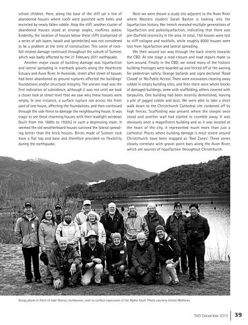
school children. Here, along the base <strong>of</strong> the cliff sat a line <strong>of</strong>abandoned houses where ro<strong>of</strong>s were punched with holes andencircled by newly fallen rubble. Atop the cliff, another cluster <strong>of</strong>abandoned houses stood at strange angles, ro<strong>of</strong>lines askew.Evidently, the location <strong>of</strong> houses below these cliffs (comprised <strong>of</strong>a series <strong>of</strong> ash layers, basalt and ignimbrites) was not consideredto be a problem at the time <strong>of</strong> construction. This scene <strong>of</strong> rockfall-relateddamage continued throughout the suburb <strong>of</strong> Sumner,which was badly affected by the 21 February 2011 earthquake.Another major cause <strong>of</strong> building damage was liquefactionand lateral spreading in riverbank gravels along the HeathcoteEstuary and Avon River. In Avonside, street after street <strong>of</strong> houseshad been abandoned as ground ruptures affected the buildings’foundations and/or structural integrity. The uneven road was thefirst indication <strong>of</strong> subsidence, although it was not until we tooka closer look at street level that we saw why these houses wereempty. In one instance, a surface rupture ran across the frontyard <strong>of</strong> one house, affecting the foundations, and then continuedthrough the side fence to damage the neighbouring house. It wastragic to see these charming houses with their leadlight windows(built from the 1880s to 1920s) in such a depressing state. Itseemed the old weatherboard houses survived the lateral spreadingbetter than the brick houses. Bricks made <strong>of</strong> Sumner rockhave a flat top and base and therefore provided no flexibilityduring the earthquake.Next we were shown a study site adjacent to the Avon Riverwhere Masters student Sarah Baston is looking into theliquefaction history. Her trench revealed multiple generations <strong>of</strong>liquefaction and paleoliquefaction, indicating that there waspre-Darfield seismicity in the area. In total, 150 houses were lostto cliff collapse and rockfalls, while roughly 6000 houses werelost from liquefaction and lateral spreading.We then wound our way through the back streets towardsthe CBD. At one stage a road closure and road repairs made usturn around. Finally in the CBD, we noted many <strong>of</strong> the historicbuilding frontages were boarded up and fenced <strong>of</strong>f at the awningfor pedestrian safety. Orange bollards and signs declared ‘RoadClosed’ or ‘No Public Access’. There were excavators clearing awayrubble in empty building sites, and then there were whole blocks<strong>of</strong> damaged buildings, some with scaffolding, others covered withtarpaulins. One building had been recently demolished, leavinga pile <strong>of</strong> jagged rubble and dust. We were able to take a shortwalk down to the Christchurch Cathedral site cordoned <strong>of</strong>f byhigh fences. Scaffolding was present where the steeple oncestood and another wall had started to crumble away. It wasobviously once a magnificent building and as it was located atthe heart <strong>of</strong> the city, it represented much more than just acathedral. Places where building damage is most severe aroundChristchurch have been mapped as ‘Red Zones’. These zonesclosely correlate with gravel point bars along the Avon River,which are sources <strong>of</strong> liquefaction throughout Christchurch.Group photo in front <strong>of</strong> Lake Poerua, Inchbonnie, near to surface expression <strong>of</strong> the Alpine Fault. Photo courtesy Emma Mathews.<strong>TAG</strong> December 2012| 39