Backpack Little Lakes Valley TR.pdf
Backpack Little Lakes Valley TR.pdf
Backpack Little Lakes Valley TR.pdf
Create successful ePaper yourself
Turn your PDF publications into a flip-book with our unique Google optimized e-Paper software.
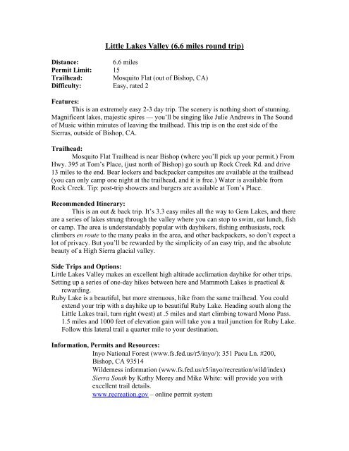
<strong>Little</strong> <strong>Lakes</strong> <strong>Valley</strong> (6.6 miles round trip)Distance: 6.6 milesPermit Limit: 15Trailhead: Mosquito Flat (out of Bishop, CA)Difficulty: Easy, rated 2Features:This is an extremely easy 2-3 day trip. The scenery is nothing short of stunning.Magnificent lakes, majestic spires — you’ll be singing like Julie Andrews in The Soundof Music within minutes of leaving the trailhead. This trip is on the east side of theSierras, outside of Bishop, CA.Trailhead:Mosquito Flat Trailhead is near Bishop (where you’ll pick up your permit.) FromHwy. 395 at Tom’s Place, (just north of Bishop) go south up Rock Creek Rd. and drive13 miles to the end. Bear lockers and backpacker campsites are available at the trailhead(you can only camp one night at the trailhead, and it is free.) Water is available fromRock Creek. Tip: post-trip showers and burgers are available at Tom’s Place.Recommended Itinerary:This is an out & back trip. It’s 3.3 easy miles all the way to Gem <strong>Lakes</strong>, and thereare a series of lakes strung through the valley where you can stop to swim, eat lunch, fishor camp. The area is understandably popular with dayhikers, fishing enthusiasts, rockclimbers en route to the many peaks in the area, and other backpackers, so don’t expect alot of privacy. But you’ll be rewarded by the simplicity of an easy trip, and the absolutebeauty of a High Sierra glacial valley.Side Trips and Options:<strong>Little</strong> <strong>Lakes</strong> <strong>Valley</strong> makes an excellent high altitude acclimation dayhike for other trips.Setting up a series of one-day hikes between here and Mammoth <strong>Lakes</strong> is practical &rewarding.Ruby Lake is a beautiful, but more strenuous, hike from the same trailhead. You couldextend your trip with a dayhike up to beautiful Ruby Lake. Heading south along the<strong>Little</strong> <strong>Lakes</strong> trail, turn right (west) at .5 miles and start climbing toward Mono Pass.1.5 miles and 1000 feet of elevation gain will take you a trail junction for Ruby Lake.Follow this lateral trail a quarter mile to your destination.Information, Permits and Resources:Inyo National Forest (www.fs.fed.us/r5/inyo/): 351 Pacu Ln. #200,Bishop, CA 93514Wilderness information (www.fs.fed.us/r5/inyo/recreation/wild/index)Sierra South by Kathy Morey and Mike White: will provide you withexcellent trail details.www.recreation.gov – online permit system
Topo Maps: Mt. Abbot and Mt. Morgan 7.5 minute mapsKey risks and concerns:Bears are active here (canisters are required.)High altitude trailhead (10,300 feet): you’ll want to spend the night at thebackpackers’ campground right at the trailhead to acclimate.Early season: be aware of lingering snow (this is the highest trailhead inthe Sierras)Swift water during snow melt season. Check with the ranger station formore information on current conditions.


