Thorley Wellow Plain HEAP - Isle of Wight Council
Thorley Wellow Plain HEAP - Isle of Wight Council
Thorley Wellow Plain HEAP - Isle of Wight Council
- No tags were found...
Create successful ePaper yourself
Turn your PDF publications into a flip-book with our unique Google optimized e-Paper software.
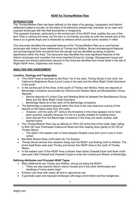
<strong>HEAP</strong> for <strong>Thorley</strong>/<strong>Wellow</strong> <strong>Plain</strong>INTRODUCTIONThe <strong>Thorley</strong>/<strong>Wellow</strong> <strong>Plain</strong> has been defined on the basis <strong>of</strong> its geology, topography and historicsettlement patterns but also on the basis <strong>of</strong> its distinctive present-day character as an open andexposed landscape with few field boundaries or hedgerows.This exposed character, particularly in the central part <strong>of</strong> the <strong>HEAP</strong> Area, justifies the use <strong>of</strong> theterm <strong>Plain</strong> in naming this Area, but the term is not entirely accurate as even the central part <strong>of</strong> thisArea is on a gentle slope and is dissected by streams which provide some variation in relief.This document identifies the essential features <strong>of</strong> the <strong>Thorley</strong>/<strong>Wellow</strong> <strong>Plain</strong> as a rural farmedlandscape with historic linear settlements at <strong>Thorley</strong> and <strong>Wellow</strong>. Buried archaeological featuresand archaeological finds recovered from the plough soil are identified as being <strong>of</strong> specialsignificance within this Area. The document also identifies the most significant features <strong>of</strong> thehistoric landscape and considers the most important forces for change. Management issues arediscussed and actions particularly relevant to this Area are identified from those listed in the <strong>Isle</strong> <strong>of</strong><strong>Wight</strong> <strong>HEAP</strong> Aims, Objectives and Actions.ANALYSIS AND ASSESSMENTLocation, Geology and Topography• This <strong>HEAP</strong> Area is bounded by the River Yar in the west, <strong>Thorley</strong> Brook in the north, theCalbourne-Brighstone Road (Lynch Lane) in the east and the West <strong>Wight</strong> Chalk Downlandin the south.• In the central part <strong>of</strong> this Area, to the south <strong>of</strong> <strong>Thorley</strong> and <strong>Wellow</strong>, there are deposits <strong>of</strong>Bembridge Limestone surrounded by Osborne and Headon Beds and Bracklesham Groupdeposits.o Narrow deposits <strong>of</strong> London Clay and Reading Beds lie between the Bracklesham GroupBeds and the West <strong>Wight</strong> Chalk Downland.o Bembridge Marls lie to the north <strong>of</strong> the Bembridge Limestone.• The Bembridge Limestone deposit within this Area is the only extensive outcrop <strong>of</strong> thedeposit on the Island away from the coast.o However, until the early 20 th century the limestone in this Area appears not to haveobeen quarried, possibly because it is not <strong>of</strong> a quality suitable for building stone.Soils derived from the Bembridge Limestone in this Area are easily worked, welldrainedloams.• The <strong>Thorley</strong>/<strong>Wellow</strong> <strong>Plain</strong> has an altitude <strong>of</strong> 105m OD at the foot <strong>of</strong> the chalk ridge, fallingto 80m OD near Freshwater-Calbourne Road and then sloping down gently to 5m OD at<strong>Thorley</strong> Manor.oThe relief in the eastern part <strong>of</strong> Area between Dodpits Lane and Lynch Lane is morevaried.• Barnfield Stream flows north-west into Yar Estuary.• <strong>Thorley</strong> Brook derives from streams rising near the B3401 and flowing north to <strong>Wellow</strong>. Thebrook itself flows west past <strong>Thorley</strong> and leaves this <strong>HEAP</strong> Area to the north <strong>of</strong> <strong>Thorley</strong>Manor.• In the eastern part <strong>of</strong> this <strong>HEAP</strong> Area a stream rises below Chessell Down and flows northeastpast Little Chessell and Chessell Copse to enter the Caulbourne Stream at Newbridge.Defining Attributes and Principal <strong>HEAP</strong> Types• Main settlements are <strong>Thorley</strong> and <strong>Wellow</strong>, strung out along the B3401.o There are also several historic manor houses and a few other farmhouses anddwellings <strong>of</strong> more recent origin.• Entirely rural Area with nearly all land in agricultural use.• A generally open and exposed landscape with large prairie fields and few hedgerows.1Iwight.com


