(OAD) Document for Ozone Mapping and Profiler Suite ... - NASA
(OAD) Document for Ozone Mapping and Profiler Suite ... - NASA
(OAD) Document for Ozone Mapping and Profiler Suite ... - NASA

Create successful ePaper yourself
Turn your PDF publications into a flip-book with our unique Google optimized e-Paper software.
<strong>OAD</strong> – OMPS TC EDR D37031<br />
Rev C5<br />
Page 26<br />
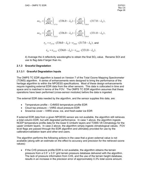
� dN �<br />
� dN �<br />
so13 � �<br />
� ( 336.<br />
0 �R )<br />
� ( 317.<br />
0 � �R<br />
)<br />
dSO �<br />
� � � � �<br />
�<br />
2<br />
dSO �<br />
�<br />
,<br />
� �<br />
� 2 �<br />
317.<br />
0<br />
336.<br />
0<br />
� dN �<br />
� dN �<br />
so23 � �<br />
� ( 336.<br />
0 �R )<br />
� ( 331.<br />
0 � �R<br />
)<br />
dSO �<br />
� � � � �<br />
�<br />
2<br />
dSO �<br />
�<br />
,<br />
� �<br />
� 2 �<br />
331.<br />
0<br />
336.<br />
0<br />
r � r � 336.<br />
0 � � ) � r �(<br />
317.<br />
0 � � ) , <strong>and</strong><br />
13 317.<br />
0 ( R 336.<br />
0<br />
R<br />
r � r � 336.<br />
0 � � ) � r �(<br />
331.<br />
0 � � ) .<br />
23 331.<br />
0 ( R 336.<br />
0<br />
R<br />
4) Average the 4 reflectivity wavelengths to obtain the final SO2 value. Rename SOI <strong>and</strong><br />
use to flag data if larger than 4�.<br />
2.1.3 Graceful Degradation<br />
2.1.3.1 Graceful Degradation Inputs<br />
The OMPS TC EDR algorithm is based on Version 7 of the Total <strong>Ozone</strong> <strong>Mapping</strong> Spectrometer<br />
(TOMS) algorithm. A series of enhancements were designed to bring the per<strong>for</strong>mance of the<br />
heritage algorithm to within the NPOESS specifications. Most of these design enhancements<br />
require ingesting external EDR data from the other sensors. This data is collocated in time <strong>and</strong><br />
space <strong>and</strong> is matched in terms of the FOV. The OMPS TC EDR algorithm assumes that these<br />
operations have been per<strong>for</strong>med (cross-sensor modules) be<strong>for</strong>e the data is ingested.<br />
The external EDR data needed by the algorithm, <strong>and</strong> the sensor supplies this data, are:<br />
� Temperature profile – CrIMSS temperature profile EDR<br />
� Cloud top pressure – VIIRS cloud pressure EDR<br />
� Snow/ice cover – VIIRS snow, ice, <strong>and</strong> fresh-water ice EDR<br />
If external EDR data from a given NPOESS sensor are not available, the algorithm still retrieves<br />
a total column EDR, but with degraded per<strong>for</strong>mance. In case 1 above, the algorithm ingests<br />
NCEP temperature profile data <strong>for</strong> the lower 6 Umkehr layers <strong>and</strong> TOMS V8 Climatology <strong>for</strong> the<br />
upper Umkehr layers. In case 2 above, the algorithm simply ingests climatological values. FOV<br />
level flags are passed through the EDR algorithm <strong>and</strong> ultimately provided <strong>for</strong> use by the<br />
calibration/validation team <strong>and</strong> other end users.<br />
The algorithm per<strong>for</strong>ms the following actions in the case that a given external value is not<br />
available (along with an estimate on the effect to accuracy <strong>and</strong> precision <strong>for</strong> the retrieved ozone<br />
values):<br />
� If the CrIS pressure profile EDR is not available, the algorithm obtains the terrain<br />
pressure from a 0.5� x 0.5� grid terrain pressure database delivered with the algorithm.<br />
The lack of pressure in<strong>for</strong>mation from CrIS, <strong>and</strong> the use of the terrain height database,<br />
results in an increase in the precision error of approximately 0.3% total ozone amount.