HORNBY - Lancashire County Council
HORNBY - Lancashire County Council
HORNBY - Lancashire County Council
You also want an ePaper? Increase the reach of your titles
YUMPU automatically turns print PDFs into web optimized ePapers that Google loves.
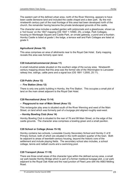
<strong>Lancashire</strong> Historic Town SurveyHornbyThe eastern part of the defined urban area, north of the River Wenning, appears to havebeen castle demesne land and included the castle chapel and a deer park. By the midnineteenthcentury part of the road frontage of this area had been developed north of thechurch, the remainder having become the private landscaped grounds of the castle.The character area includes a walled garden with polytunnels and a glasshouse, shown asa ‘hot house’ on the 1847 mapping (OS 1847 1:10560, 25), a lodge, Park Cottages,housing on Monteagle Square and Castle Park, an ornate gateway, a pond and a fountain.Hornby Castle is listed at grade I; the lodge, a terrace wall and Park Cottages are listed atgrade II.Agricultural (Areas 10)This area comprises an area of allotments near to the Royal Oak Hotel. Early mappingreveals this area was formerly open land.C20 Industrial/commercial (Areas 11)A small industrial estate situated on the southern edge of the survey area. Nineteenthcentury mapping shows that this area was the former site of the Wennington to Lancasterrailway line, sidings, cattle pens and a signal box (OS 1891 1:2500, 25.11).C20 Public (Area 12)– Fire Station (Area 12)There is only one public building in Hornby, the Fire Station. This occupies a small plot ofland on the main street adjacent to the Royal Oak Hotel.C20 Recreational (Area 13-14)– Playground to rear of Main Street (Area 13)This rectangular play area is situated south of the River Wenning and west of the MainStreet, on land which was formerly part of a burgage plot aligned roughly east-west.– Hornby Bowling Club (Area 14)Hornby Bowling Club is situated to the rear of 76 and 88 Main Street, on the edge of thecastle grounds. The character area comprises a bowling green and a small pavilion.C20 School or College (Areas 15-16)Hornby contains two schools, Lunesdale <strong>County</strong> Secondary School and Hornby C of EPrimary School, both of which are situated in the north-western quarter of the town. Bothlie adjacent to areas of twentieth-century housing, beyond the historic core of thesettlement and include playing fields. The secondary school also includes, a schoolcottage, tennis and netball courts and a swimming pool.C20 Transport (Areas 17-19)There are three small areas of this character type within the defined survey area, a smallcar park beside Hornby Bridge which is part of a former medieval burgage plot, a car parkadjacent to the Royal Oak Hotel and the road junction of Fleet Lane with the A683 MellingRoad.© <strong>Lancashire</strong> <strong>County</strong> <strong>Council</strong> 2006 23


