Everything Photographic: J. T. Boysen and his ... - Yosemite Online
Everything Photographic: J. T. Boysen and his ... - Yosemite Online
Everything Photographic: J. T. Boysen and his ... - Yosemite Online

Create successful ePaper yourself
Turn your PDF publications into a flip-book with our unique Google optimized e-Paper software.
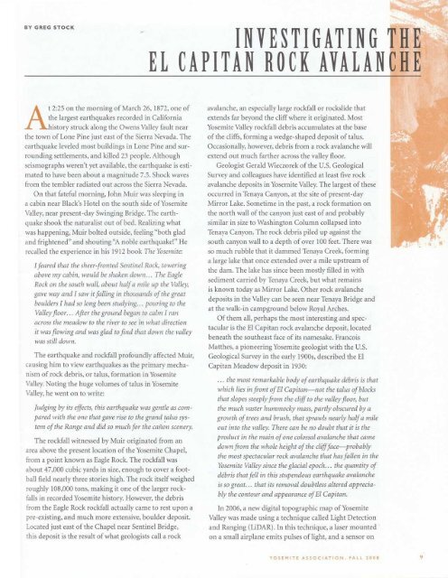
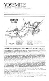
BY GREG STOCKINVESTIGATING THEEL CAPITAN ROCK AVALANCHEAt 2 :25 on the morning of March 26, 1872, one ofthe largest earthquakes recorded in California<strong>his</strong>tory struck along the Owens Valley fault nearthe town of Lone Pine just east of the Sierra Nevada. Theearthquake leveled most buildings in Lone Pine <strong>and</strong> surroundingsettlements, <strong>and</strong> killed 23 people . Althoughseismographs weren't yet available, the earthquake is estimatedto have been about a magnitude 7 .5 . Shock wavesfrom the tembler radiated out across the Sierra Nevada.On that fateful morning, John Muir was sleeping ina cabin near Black's Hotel on the south side of <strong>Yosemite</strong>Valley, near present-day Swinging Bridge . The earthquakeshook the naturalist out of bed . Realizing whatwas happening, Muir bolted outside, feeling " both glad<strong>and</strong> frightened " <strong>and</strong> shouting "A noble earthquake! " Herecalled the experience in <strong>his</strong> 1912 book The <strong>Yosemite</strong>:I feared that the sheer fronted Sentinel Rock, toweringabove my cabin, would be shaken down . . . The EagleRock on the south wall, about half a mile up the Valley,gave way <strong>and</strong> I saw it falling in thous<strong>and</strong>s of the greatboulders I had so long been studying . . . pouring to theValley floor . . . After the ground began to calm I ranacross the meadow to the river to see in what directionit was flowing <strong>and</strong> was glad to find that down the valleywas still down.The earthquake <strong>and</strong> rockfall profoundly affected Muir,causing him to view earthquakes as the primary mechanismof rock debris, or talus, formation in <strong>Yosemite</strong>Valley. Noting the huge volumes of talus in <strong>Yosemite</strong>Valley, he went on to write:Judging by its effects, t<strong>his</strong> earthquake was gentle as comparedwith the one that gave rise to the gr<strong>and</strong> talus systemof the Range <strong>and</strong> did so much for the canon scenery.The rockfall witnessed by Muir originated from anarea above the present location of the <strong>Yosemite</strong> Chapel,from a point known as Eagle Rock . The rockfall wasabout 47,000 cubic yards in size, enough to cover a footballfield nearly three stories high . The rock itself weighedroughly 108,000 tons, making it one of the larger rockfallsin recorded <strong>Yosemite</strong> <strong>his</strong>tory . However, the debrisfrom the Eagle Rock rockfall actually came to rest upon apre-existing, <strong>and</strong> much more extensive, boulder deposit.Located just east of the Chapel near Sentinel Bridge,t<strong>his</strong> deposit is the result of what geologists call a rockavalanche, an especially large rockfall or rockslide thatextends far beyond the cliff where it originated. Most<strong>Yosemite</strong> Valley rockfall debris accumulates at the baseof the cliffs, forming a wedge-shaped deposit of talus.Occasionally, however, debris from a rock avalanche willextend out much farther across the valley floor.Geologist Gerald Wieczorek of the U .S . GeologicalSurvey <strong>and</strong> colleagues have identified at least five rockavalanche deposits in <strong>Yosemite</strong> Valley. The largest of theseoccurred in Tenaya Canyon, at the site of present-dayMirror Lake . Sometime in the past, a rock formation onthe north wall of the canyon just east of <strong>and</strong> probablysimilar in size to Washington Column collapsed intoTenaya Canyon . The rock debris piled up against thesouth canyon wall to a depth of over 100 feet . There wasso much rubble that it dammed Tenaya Creek, forminga large lake that once extended over a mile upstream ofthe dam . The lake has since been mostly filled in withsediment carried by Tenaya Creek, but what remainsis known today as Mirror Lake . Other rock avalanchedeposits in the Valley can be seen near Tenaya Bridge <strong>and</strong>at the walk-in campground below Royal Arches.Of them all, perhaps the most interesting <strong>and</strong> spectacularis the El Capitan rock avalanche deposit, locatedbeneath the southeast face of its namesake . FrancoisMatthes, a pioneering <strong>Yosemite</strong> geologist with the U.S.Geological Survey in the early 1900s, described the ElCapitan Meadow deposit in 1930:. . . the most remarkable body of earthquake debris is thatwhich lies in front of El Capitan—not the talus of blocksthat slopes steeply from the cliff to the valley floor, butthe much vaster hummocky mass, partly obscured by agrowth of trees <strong>and</strong> brush, that sprawls nearly half a mileout into the valley. There can be no doubt that it is theproduct in the main of one colossal avalanche that camedown from the whole height of the cliff face probablythe most spectacular rock avalanche that has fallen in the<strong>Yosemite</strong> Valley since the glacial epoch . . . the quantity ofdebris that fell in t<strong>his</strong> stupendous earthquake avalancheis so great. . . that its removal doubtless altered appreciablythe contour <strong>and</strong> appearance of El Capitan.In 2006, a new digital topographic map of <strong>Yosemite</strong>Valley was made using a technique called Light Detection<strong>and</strong> Ranging (LiDAR) . In t<strong>his</strong> technique, a laser mountedon a small airplane emits pulses of light, <strong>and</strong> a sensor onYOSEMITE ASSOCIATION, FALL 2008
![(March 1982) [PDF] “We Are Pleased to Announce†- Yosemite Online](https://img.yumpu.com/51299748/1/190x242/march-1982-pdf-aeuroewe-are-pleased-to-announceaeur-yosemite-online.jpg?quality=85)
![[PDF] Old Horny, Yosemite's Unicorn Buck - Yosemite Online](https://img.yumpu.com/51269869/1/184x260/pdf-old-horny-yosemites-unicorn-buck-yosemite-online.jpg?quality=85)
![1985 [PDF] - Yosemite](https://img.yumpu.com/48128837/1/184x260/1985-pdf-yosemite.jpg?quality=85)