View - Statistics - University of Washington
View - Statistics - University of Washington
View - Statistics - University of Washington

You also want an ePaper? Increase the reach of your titles
YUMPU automatically turns print PDFs into web optimized ePapers that Google loves.
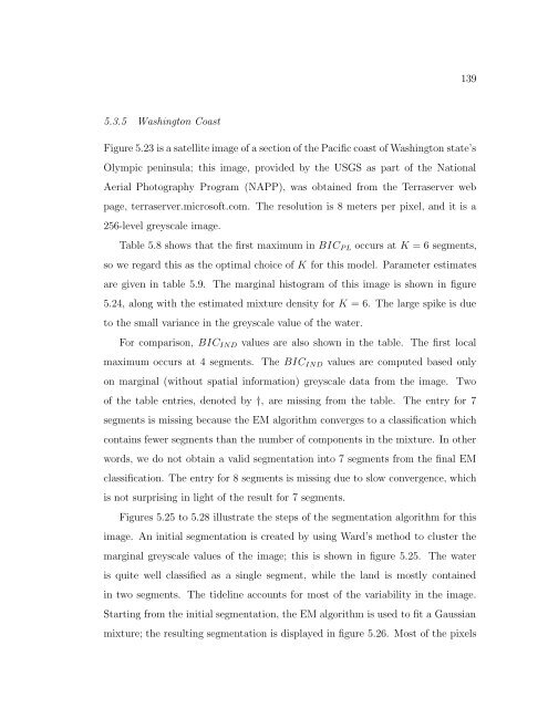
1395.3.5 <strong>Washington</strong> CoastFigure 5.23 is a satellite image <strong>of</strong> a section <strong>of</strong> the Pacific coast <strong>of</strong> <strong>Washington</strong> state’sOlympic peninsula; this image, provided by the USGS as part <strong>of</strong> the NationalAerial Photography Program (NAPP), was obtained from the Terraserver webpage, terraserver.micros<strong>of</strong>t.com. The resolution is 8 meters per pixel, and it is a256-level greyscale image.Table 5.8 shows that the first maximum in BIC P L occurs at K = 6 segments,so we regard this as the optimal choice <strong>of</strong> K for this model. Parameter estimatesare given in table 5.9. The marginal histogram <strong>of</strong> this image is shown in figure5.24, along with the estimated mixture density for K = 6. The large spike is dueto the small variance in the greyscale value <strong>of</strong> the water.For comparison, BIC IND values are also shown in the table. The first localmaximum occurs at 4 segments. The BIC IND values are computed based onlyon marginal (without spatial information) greyscale data from the image. Two<strong>of</strong> the table entries, denoted by †, are missing from the table. The entry for 7segments is missing because the EM algorithm converges to a classification whichcontains fewer segments than the number <strong>of</strong> components in the mixture. In otherwords, we do not obtain a valid segmentation into 7 segments from the final EMclassification. The entry for 8 segments is missing due to slow convergence, whichis not surprising in light <strong>of</strong> the result for 7 segments.Figures 5.25 to 5.28 illustrate the steps <strong>of</strong> the segmentation algorithm for thisimage. An initial segmentation is created by using Ward’s method to cluster themarginal greyscale values <strong>of</strong> the image; this is shown in figure 5.25. The wateris quite well classified as a single segment, while the land is mostly containedin two segments. The tideline accounts for most <strong>of</strong> the variability in the image.Starting from the initial segmentation, the EM algorithm is used to fit a Gaussianmixture; the resulting segmentation is displayed in figure 5.26. Most <strong>of</strong> the pixels