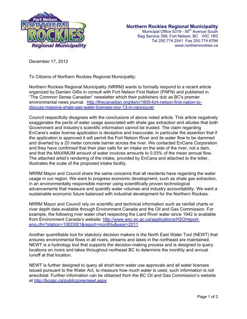
Community Letter Wat.. - Northern Rockies Regional Municipality
Community Letter Wat.. - Northern Rockies Regional Municipality
Community Letter Wat.. - Northern Rockies Regional Municipality

Create successful ePaper yourself
Turn your PDF publications into a flip-book with our unique Google optimized e-Paper software.
<strong>Northern</strong> <strong>Rockies</strong> <strong>Regional</strong> <strong>Municipality</strong><br />
Municipal Office 5319 - 50 th Avenue South<br />
Bag Service 399, Fort Nelson, BC V0C 1R0<br />
Tel 250.774.2541 Fax 250.774.6794<br />
www.northernrockies.ca<br />
December 17, 2012<br />
To Citizens of <strong>Northern</strong> <strong>Rockies</strong> <strong>Regional</strong> <strong>Municipality</strong>:<br />
<strong>Northern</strong> <strong>Rockies</strong> <strong>Regional</strong> <strong>Municipality</strong> (NRRM) wants to formally respond to a recent article<br />
organized by Damien Gillis in consult with Fort Nelson First Nation (FNFN) and published in<br />
“The Common Sense Canadian” newsletter which their publishers dub as BC's premier<br />
environmental news journal. http://thecanadian.org/item/1805-fort-nelson-first-nation-todiscuss-massive-shale-gas-water-licenses-nov-13-in-vancouver<br />
Council respectfully disagrees with the conclusions of above noted article. This article negatively<br />
exaggerates the perils of water usage associated with shale gas extraction and alludes that both<br />
Government and Industry’s scientific information cannot be trusted. The claim regarding<br />
EnCana’s water license application is deceptive and inaccurate; in particular the assertion that if<br />
the application is approved it will permit the Fort Nelson River and its water flow to be dammed<br />
and diverted by a 20 meter concrete barrier across the river. We contacted EnCana Corporation<br />
and they have confirmed that their plan calls for an intake on the side of the river, not a dam,<br />
and that the MAXIMUM amount of water involves amounts to 0.03% of the mean annual flow.<br />
The attached artist’s rendering of the intake, provided by EnCana and attached to the letter,<br />
illustrates the scale of the proposed intake facility.<br />
NRRM Mayor and Council share the same concerns that all residents have regarding the water<br />
usage in our region. We want to progress economic development, such as shale gas extraction,<br />
in an environmentally responsible manner using scientifically proven technological<br />
advancements that measure and quantify water volumes and industry accountability. We want a<br />
sustainable economic future balanced with industrial development for the <strong>Northern</strong> <strong>Rockies</strong>.<br />
NRRM Mayor and Council rely on scientific and technical information such as rainfall charts or<br />
river depth data available through Environment Canada and the Oil and Gas Commission. For<br />
example, the following river water chart respecting the Liard River water since 1942 is available<br />
from Environment Canada’s website: http://www.wsc.ec.gc.ca/applications/H2O/reporteng.cfm?station=10ED001&report=monthly&year=2011<br />
Another quantifiable tool for statutory decision makers is the North East <strong>Wat</strong>er Tool (NEWT) that<br />
ensures environmental flows in all rivers, streams and lakes in the northeast are maintained.<br />
NEWT is a hydrology tool that supports the decision-making process and is designed to query<br />
locations on rivers and lakes throughout northeast BC to determine the monthly and annual<br />
runoff at that location.<br />
NEWT is further designed to query all short-term water use approvals and all water licenses<br />
issued pursuant to the <strong>Wat</strong>er Act, to measure how much water is used, such information is not<br />
anecdotal. Further information can be obtained from the BC Oil and Gas Commission’s website<br />
at http://bcogc.ca/publiczone/newt.aspx<br />
Page 1 of 2
Finally, we want to note that missing from the water information equation is mention of the<br />
earth’s natural water cycle and climate. <strong>Wat</strong>er changes from one reservoir to another from river<br />
to ocean, or from the ocean to the atmosphere, by the physical processes of evaporation, snow<br />
melt, condensation, precipitation, infiltration, runoff, and subsurface flow.<br />
NRRM encourages citizens to exercise their right to obtain factual information regarding the use<br />
of water for fracking in the <strong>Northern</strong> <strong>Rockies</strong> <strong>Regional</strong> <strong>Municipality</strong>. If we can assist you in<br />
obtaining information, please call our office and we will help direct you to the appropriate person<br />
or agency.<br />
Sincerely,<br />
Bill Streeper, Mayor<br />
Cc:<br />
Pat Pimm, MLA<br />
BC Minister Steve Thomson, Forests, Lands and Natural Resource Operations<br />
BC Premier Christy Clark<br />
BC Oil and Gas Commission<br />
Page 2 of 2