GSN March 2016 Digital Edition

Create successful ePaper yourself
Turn your PDF publications into a flip-book with our unique Google optimized e-Paper software.
Marrying mobility and location data for<br />
effective disaster response<br />
By Scott Lee<br />
TerraGo Technologies<br />
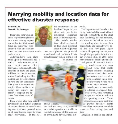
There was a time when disaster<br />
response was planned<br />
in a room among experts<br />
and authorities that would<br />
focus on improving coordination<br />
with one another<br />
when the next hurricane or earthquake<br />
struck.<br />
Understandably, their plans<br />
relied upon the traditional networks,<br />
telecommunications<br />
and computer systems. But<br />
Hurricanes Katrina and Sandy,<br />
disasters in Haiti and Japan,<br />
wildfires in the Northwest,<br />
winter floods along the Mississippi<br />
and terrorist attacks<br />
in Paris and San Bernardino<br />
have given us numerous examples<br />
of how mobile technology<br />
can improve our<br />
ability to respond and recover<br />
from these types of<br />
events.<br />
Those events also have raised<br />
government and public awareness<br />
of mobile devices as crowdsourcing<br />
tools that have spawned masses<br />
of eyewitnesses eager to share<br />
their observations. In this case,<br />
the smartphone in the<br />
hands of the public provided<br />
faster and better<br />
situational awareness<br />
than traditional systems.<br />
The mobile revolution,<br />
which accelerated<br />
in 2008 when geospatial<br />
chips turned cell phones<br />
into smart phones, has produced<br />
a worldwide cadre of trained data<br />
collectors ready to help at the speed<br />
of thumbs on<br />
phone screens.<br />
But in all too many cases, state and<br />
local relief agencies are unable to<br />
take full advantage of this resource,<br />
or unwilling to rely on public net-<br />
10<br />
works.<br />
The Department of Homeland Security<br />
ranks inability to act without<br />
network connectivity as the chief<br />
issue hindering disaster response,<br />
just ahead of the lack of capability<br />
– or unwillingness – to share data<br />
horizontally and vertically over local<br />
and state stove-piped legacy<br />
systems. The priority remains, even<br />
though the geospatial industry began<br />
working offline in 2005, three<br />
years before the mobile phone added<br />
geospatial capability. Today’s<br />
mobile users cache maps<br />
and forms that enable<br />
them continue collecting<br />
location-based data without<br />
network access, and to<br />
sync seamlessly into a common<br />
operating picture when<br />
connectivity is restored.<br />
Mobile users are constantly<br />
producing geo-tagged location<br />
reports, with supporting<br />
images and video to enhance<br />
the operating picture. These<br />
observations contain real-time<br />
geographic reference points<br />
that allow responders to mobile<br />
resources faster, saving time and<br />
lives.<br />
Enlightened officials are includ-