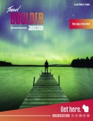
Boulder Junction Visitor Guide - 2019
Travel Guide.
Travel Guide.

You also want an ePaper? Increase the reach of your titles
YUMPU automatically turns print PDFs into web optimized ePapers that Google loves.
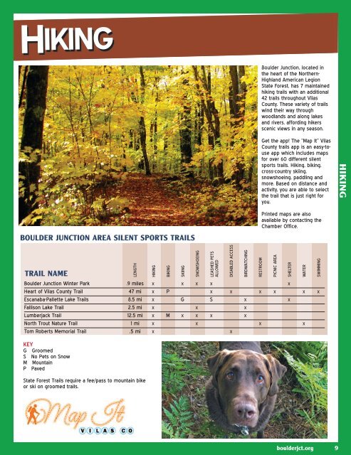
HIKING<br />
Hiking<br />
<strong>Boulder</strong> <strong>Junction</strong>, located in<br />
the heart of the Northern-<br />
Highland American Legion<br />
State Forest, has 7 maintained<br />
hiking trails with an additional<br />
42 trails throughout Vilas<br />
County. These variety of trails<br />
wind their way through<br />
woodlands and along lakes<br />
and rivers, affording hikers<br />
scenic views in any season.<br />
Get the app! The “Map It” Vilas<br />
County trails app is an easy-touse<br />
app which includes maps<br />
for over 60 different silent<br />
sports trails. Hiking, biking,<br />
cross-country skiing,<br />
snowshoeing, paddling and<br />
more. Based on distance and<br />
activity, you are able to select<br />
the trail that is just right for<br />
you.<br />
HIKING<br />
BOULDER JUNCTION AREA SILENT SPORTS TRAILS<br />
Printed maps are also<br />
available by contacting the<br />
Chamber Office.<br />
TRAIL NAME<br />
LENGTH<br />
HIKING<br />
BIKING<br />
SKIING<br />
SNOWSHOEING<br />
LEASHED PETS<br />
ALLOWED<br />
DISABLED ACCESS<br />
BIRDWATCHING<br />
RESTROOM<br />
PICNIC AREA<br />
SHELTER<br />
WATER<br />
SWIMMING<br />
<strong>Boulder</strong> <strong>Junction</strong> Winter Park .9 miles X X X X X<br />
Heart of Vilas County Trail 47 mi X P X X X X X X<br />
Escanaba-Pallette Lake Trails 8.5 mi X G S X X<br />
Fallison Lake Trail 2.5 mi X X X<br />
Lumberjack Trail 12.5 mi X M X X X X<br />
North Trout Nature Trail 1 mi X X X X<br />
Tom Roberts Memorial Trail .5 mi X X<br />
KEY<br />
G Groomed<br />
S No Pets on Snow<br />
M Mountain<br />
P Paved<br />
State Forest Trails require a fee/pass to mountain bike<br />
or ski on groomed trails.<br />
boulderjct.org 9