ABW March 2024

Create successful ePaper yourself
Turn your PDF publications into a flip-book with our unique Google optimized e-Paper software.
This Municipality is in the northern part of<br />
Batangas. It is bounded by Tagaytay City in the<br />
North, Tanauan City in the East, the Municipality<br />
of Laurel in the West, and Taal Lake in the South. It<br />
is located some 86 kilometers south of Manila and about 74<br />
kilometers north of the Batangas provincial capital.<br />
Dubbed as the Seedling Bowl of the Nation it produces 80<br />
to 85% of seedlings and saplings in the Philippines. The<br />
town is also home to numerous plant nurseries and gardens.<br />
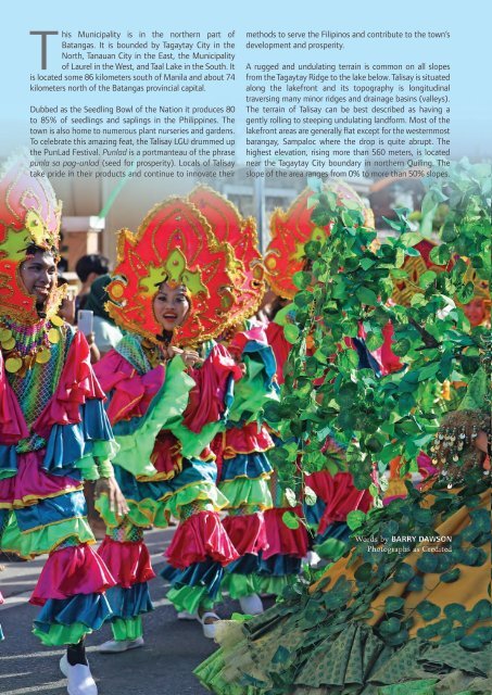
To celebrate this amazing feat, the Talisay LGU drummed up<br />
the PunLad Festival. Punlad is a portmanteau of the phrase<br />
punla sa pag-unlad (seed for prosperity). Locals of Talisay<br />
take pride in their products and continue to innovate their<br />
methods to serve the Filipinos and contribute to the town’s<br />
development and prosperity.<br />
A rugged and undulating terrain is common on all slopes<br />
from the Tagaytay Ridge to the lake below. Talisay is situated<br />
along the lakefront and its topography is longitudinal<br />
traversing many minor ridges and drainage basins (valleys).<br />
The terrain of Talisay can be best described as having a<br />
gently rolling to steeping undulating landform. Most of the<br />
lakefront areas are generally flat except for the westernmost<br />
barangay, Sampaloc where the drop is quite abrupt. The<br />
highest elevation, rising more than 560 meters, is located<br />
near the Tagaytay City boundary in northern Quiling. The<br />
slope of the area ranges from 0% to more than 50% slopes.<br />
Words by BARRY DAWSON<br />
Photographs as Credited<br />
74