before the ferc, application - Alaska Resources Library
before the ferc, application - Alaska Resources Library
before the ferc, application - Alaska Resources Library
You also want an ePaper? Increase the reach of your titles
YUMPU automatically turns print PDFs into web optimized ePapers that Google loves.
-<br />
"i' I<br />
2 - BASELINE DESCRIPTION<br />
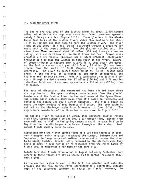
The entire drainage area of <strong>the</strong> Susitna River is about 19,400 square<br />
miles, of which <strong>the</strong> drainage area above Gold Creek comprises approximately<br />
6160 square miles (Figure E.2.1). Three glaciers in <strong>the</strong> <strong>Alaska</strong><br />
Range feed forks of <strong>the</strong> Susitna River, which flow southward for about<br />
18 miles (30 km) and <strong>the</strong>n join to form <strong>the</strong> Susitna River. The river<br />
flows an additional 55 miles (90 km) southward through a broad valley<br />
where much of <strong>the</strong> coarse sediment from <strong>the</strong> glaciers settles out. The<br />
ri ver <strong>the</strong>n f1 ows westward about 96 mn es (154 km) through a narrow<br />
valley, with constrictions at <strong>the</strong> Devil Creek and Devil Canyon areas<br />
creating violent rapids. Numerous small, steep gradient, clear-water<br />
tributaries flow into <strong>the</strong> Susitna in this reach of <strong>the</strong> river. Several<br />
of <strong>the</strong>se tributari es cascade over waterfall s as <strong>the</strong>y enter <strong>the</strong> gorge.<br />
As <strong>the</strong> Susitna curves south past Gold Creek, 13 miles (21 km) downstream<br />
from <strong>the</strong> mouth of Devil Canyon, its gradient gradually<br />
decreases. The river is joined about 40 miles (64 km) beyond Gold<br />
Creek in <strong>the</strong> vicinity of Talkeetna by two major tributaries, <strong>the</strong><br />
Chul itna and Talkeetna Rivers. From this confluence, <strong>the</strong> Susitna flows<br />
south through braided channels for 97 miles (156 km) until it empties<br />
into Cook Inlet near Anchorage, approximately 318 miles (512 km) from<br />
its sou rce.<br />
For ease of discussion, <strong>the</strong> watershed has been divided into three<br />
drainage basins. The upper drainage basin extends from <strong>the</strong> glacial<br />
headwaters of <strong>the</strong> Susitna River to <strong>the</strong> confluence of <strong>the</strong> Tyone River.<br />
The middle basin extends downstream from this point to Talkeetna and<br />
contains <strong>the</strong> Watana and Devil Canyon damsites. The middle reach is<br />
where <strong>the</strong> major project-related impacts will occur. The lower basin is<br />
defined as <strong>the</strong> drainage basin from Talkeetna to Cook Inlet. The<br />
approximate boundaries of <strong>the</strong> three basins are shown in Figure E.2.1.<br />
The Susitna River is typical of unregulated nor<strong>the</strong>rn glacial rivers<br />
with high, turbid summer flow and low, clear winter flow. Runoff from<br />
snow melt and rainfall in <strong>the</strong> spring causes a rapid increase in flow in<br />
May from <strong>the</strong> low discharges experienced throughout <strong>the</strong> winter. Peak<br />
annual floods usually occur in June.<br />
Associated with <strong>the</strong> higher spring flows is a 100 fold increase in sediment<br />
transport which persists throughout <strong>the</strong> summer. Between June and<br />
September, <strong>the</strong> large suspended sediment concentration causes <strong>the</strong> river<br />
to be highly turbid. Glacial silt, released by <strong>the</strong> glaciers when <strong>the</strong>y<br />
begin to melt in late spring or re-entra"ined from <strong>the</strong> river banks by<br />
high flows, is responsible for much of <strong>the</strong> turbidity.<br />
Rainfall-related floods often occur in August and early September, but<br />
generally <strong>the</strong>se floods are not as severe as <strong>the</strong> spring (May-June) snowmelt<br />
f1 oods.<br />
As <strong>the</strong> wea<strong>the</strong>r begins to cool in <strong>the</strong> fall, <strong>the</strong> glacial melt rate decreases<br />
and <strong>the</strong> flow in <strong>the</strong> river correspondingly decreases. Because<br />
most of <strong>the</strong> suspended sediment is caused by glacial outwash, <strong>the</strong><br />
E-2-3


