Yukon River Unified Watershed Assessment - Yukon River Inter ...
Yukon River Unified Watershed Assessment - Yukon River Inter ...
Yukon River Unified Watershed Assessment - Yukon River Inter ...

You also want an ePaper? Increase the reach of your titles
YUMPU automatically turns print PDFs into web optimized ePapers that Google loves.
<strong>Yukon</strong> <strong>River</strong> <strong>Unified</strong> <strong>Watershed</strong> <strong>Assessment</strong><br />
Concerns in the community include a sewage lagoon drainage that cracks up the ground and<br />
drains into a dry slough. There are six oil tanks by the school, which have pipes under the<br />
ground to pump oil into the school and into the power plant. The community does not know<br />
what impacts this practice has.<br />
An active open dump also is a concern for the community. Garbage is scattered all over and<br />
is located not far from the river, as well as buried garbage. A sewage lagoon by the school<br />
that drains into a dry slough, and when the water gets high it drains into the Black <strong>River</strong>.<br />
It’s at least 40 or 50 yards away from the water. The community does not know if the<br />
landfill is leaching.<br />
NOTE: The above information was supplied by the questionnaire survey for this project.<br />
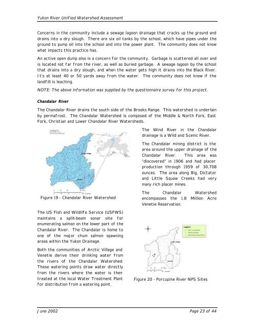
Chandalar <strong>River</strong><br />
The Chandalar <strong>River</strong> drains the south side of the Brooks Range. This watershed is underlain<br />
by permafrost. The Chandalar <strong>Watershed</strong> is composed of the Middle & North Fork, East<br />
Fork, Christian and Lower Chandalar <strong>River</strong> <strong>Watershed</strong>s.<br />
Figure 19 - Chandalar <strong>River</strong> <strong>Watershed</strong><br />
The US Fish and Wildlife Service (USFWS)<br />
maintains a split-beam sonar site for<br />
enumerating salmon on the lower part of the<br />
Chandalar <strong>River</strong>. The Chandalar is home to<br />
one of the major chum salmon spawning<br />
areas within the <strong>Yukon</strong> Drainage.<br />
Both the communities of Arctic Village and<br />
Venetie derive their drinking water from<br />
the rivers of the Chandalar <strong>Watershed</strong>.<br />
These watering points draw water directly<br />
from the rivers where the water is then<br />
treated at the local Water Treatment Plant<br />
for distribution from a watering point.<br />
The Wind <strong>River</strong> in the Chandalar<br />
drainage is a Wild and Scenic <strong>River</strong>.<br />
The Chandalar mining district is the<br />
area around the upper drainage of the<br />
Chandalar <strong>River</strong>. This area was<br />
“discovered” in 1906 and had placer<br />
production through 1959 of 30,708<br />
ounces. The area along Big, Dictator<br />
and Little Squaw Creeks had very<br />
many rich placer mines.<br />
The Chandalar <strong>Watershed</strong><br />
encompasses the 1.8 Million Acre<br />
Venetie Reservation.<br />
Figure 20 - Porcupine <strong>River</strong> NPS Sites<br />
June 2002 Page 23 of 44