Yukon River Unified Watershed Assessment - Yukon River Inter ...
Yukon River Unified Watershed Assessment - Yukon River Inter ...
Yukon River Unified Watershed Assessment - Yukon River Inter ...

Create successful ePaper yourself
Turn your PDF publications into a flip-book with our unique Google optimized e-Paper software.
<strong>Yukon</strong> <strong>River</strong> <strong>Unified</strong> <strong>Watershed</strong> <strong>Assessment</strong><br />
Koyukuk <strong>River</strong><br />
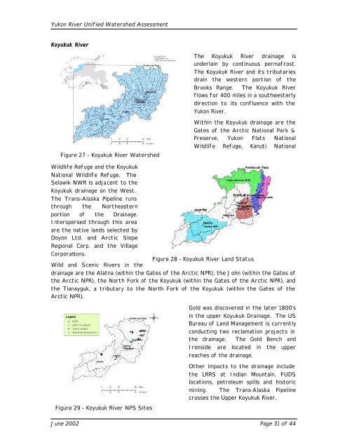
Figure 27 - Koyukuk <strong>River</strong> <strong>Watershed</strong><br />
Wildlife Refuge and the Koyukuk<br />
National Wildlife Refuge. The<br />
Selawik NWR is adjacent to the<br />
Koyukuk drainage on the West.<br />
The Trans-Alaska Pipeline runs<br />
through the Northeastern<br />
portion of the Drainage.<br />
<strong>Inter</strong>spersed through this area<br />
are the native lands selected by<br />
Doyon Ltd. and Arctic Slope<br />
Regional Corp. and the Village<br />
Corporations.<br />
Wild and Scenic <strong>River</strong>s in the<br />
The Koyukuk <strong>River</strong> drainage is<br />
underlain by continuous permafrost.<br />
The Koyukuk <strong>River</strong> and its tributaries<br />
drain the western portion of the<br />
Brooks Range. The Koyukuk <strong>River</strong><br />
flows for 400 miles in a southwesterly<br />
direction to its confluence with the<br />
<strong>Yukon</strong> <strong>River</strong>.<br />
Within the Koyukuk drainage are the<br />
Gates of the Arctic National Park &<br />
Preserve, <strong>Yukon</strong> Flats National<br />
Wildlife Refuge, Kanuti National<br />
drainage are the Alatna (within the Gates of the Arctic NPR), the John (within the Gates of<br />
the Arctic NPR), the North Fork of the Koyukuk (within the Gates of the Arctic NPR), and<br />
the Tianayguk, a tributary to the North Fork of the Koyukuk (within the Gates of the<br />
Arctic NPR).<br />
Figure 29 - Koyukuk <strong>River</strong> NPS Sites<br />
Figure 28 - Koyukuk <strong>River</strong> Land Status<br />
Gold was discovered in the later 1800’s<br />
in the upper Koyukuk Drainage. The US<br />
Bureau of Land Management is currently<br />
conducting two reclamation projects in<br />
the drainage. The Gold Bench and<br />
Ironside are located in the upper<br />
reaches of the drainage.<br />
Other impacts to the drainage include<br />
the LRRS at Indian Mountain, FUDS<br />
locations, petroleum spills and historic<br />
mining. The Trans-Alaska Pipeline<br />
crosses the Upper Koyukuk <strong>River</strong>.<br />
June 2002 Page 31 of 44