Download PDF - GeoSpatialWorld.net
Download PDF - GeoSpatialWorld.net
Download PDF - GeoSpatialWorld.net

Create successful ePaper yourself
Turn your PDF publications into a flip-book with our unique Google optimized e-Paper software.
30<br />
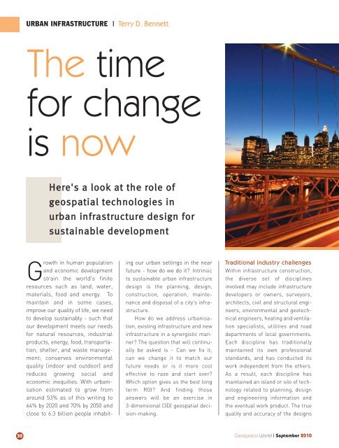
URBAN INFRASTRUCTURE I Terry D. Ben<strong>net</strong>t<br />
The time<br />
for change<br />
is now<br />
Here's a look at the role of<br />
geospatial technologies in<br />
urban infrastructure design for<br />
sustainable development<br />
Growth in human population<br />
and economic development<br />
strain the world's finite<br />
resources such as land, water,<br />
materials, food and energy. To<br />
maintain and in some cases,<br />
improve our quality of life, we need<br />
to develop sustainably - such that<br />
our development meets our needs<br />
for natural resources, industrial<br />
products, energy, food, transportation,<br />
shelter, and waste management;<br />
conserves environmental<br />
quality (indoor and outdoor) and<br />
reduces growing social and<br />
economic inequities. With urbanisation<br />
estimated to grow from<br />
around 53% as of this writing to<br />
64% by 2020 and 70% by 2050 and<br />
close to 6.3 billion people inhabit-<br />
ing our urban settings in the near<br />
future - how do we do it? Intrinsic<br />
to sustainable urban infrastructure<br />
design is the planning, design,<br />
construction, operation, maintenance<br />
and disposal of a city's infrastructure.<br />
How do we address urbanisation,<br />
existing infrastructure and new<br />
infrastructure in a synergistic manner?<br />
The question that will continually<br />
be asked is - Can we fix it,<br />
can we change it to match our<br />
future needs or is it more cost<br />
effective to raze and start over?<br />
Which option gives us the best long<br />
term ROI? And finding those<br />
answers will be an exercise in<br />
3-dimensional (3D) geospatial decision-making.<br />
Traditional industry challenges<br />
Within infrastructure construction,<br />
the diverse set of disciplines<br />
involved may include infrastructure<br />
developers or owners, surveyors,<br />
architects, civil and structural engineers,<br />
environmental and geotechnical<br />
engineers, heating and ventilation<br />
specialists, utilities and road<br />
departments of local governments.<br />
Each discipline has traditionally<br />
maintained its own professional<br />
standards, and has conducted its<br />
work independent from the others.<br />
As a result, each discipline has<br />
maintained an island or silo of technology<br />
related to planning, design<br />
and engineering information and<br />
the eventual work product. The true<br />
quality and accuracy of the designs<br />
Geospatial World I September 2010