Mapa de Honduras
Mapa de Honduras
Mapa de Honduras

You also want an ePaper? Increase the reach of your titles
YUMPU automatically turns print PDFs into web optimized ePapers that Google loves.
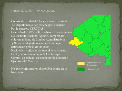
Control <strong>de</strong> calidad <strong>de</strong>l levantamiento catastral<br />
<strong>de</strong>l <strong>de</strong>partamento <strong>de</strong> Ocotepeque, ejecutado<br />
Por la empresa SERCCAS<br />
En el año <strong>de</strong> 1996-1998, mediante financiamiento<br />
Del Instituto Nacional Agrario, comprendió<br />
el levantamiento <strong>de</strong> Limites Administrativos<br />
y Sitios <strong>de</strong>l <strong>de</strong>partamento <strong>de</strong> Ocotepeque,<br />
<strong>de</strong>lineación predial <strong>de</strong> las áreas<br />
Nacionales y ejidales <strong>de</strong> todo el <strong>de</strong>partamento<br />
Excluyendo el municipio <strong>de</strong> Ocotepeque<br />
Control <strong>de</strong> calidad ejecutado por la Dirección<br />
Ejecutiva <strong>de</strong>l Catastro<br />
No existe información disponible <strong>de</strong>ntro <strong>de</strong> la<br />
Institución<br />
Departamento <strong>de</strong><br />
Ocotepeque<br />
Resto <strong>de</strong>l país