Mapa de Honduras
Mapa de Honduras
Mapa de Honduras

You also want an ePaper? Increase the reach of your titles
YUMPU automatically turns print PDFs into web optimized ePapers that Google loves.
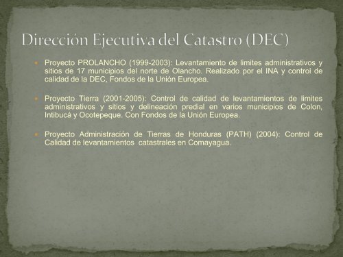
� Proyecto PROLANCHO (1999-2003): Levantamiento <strong>de</strong> limites administrativos y<br />
sitios <strong>de</strong> 17 municipios <strong>de</strong>l norte <strong>de</strong> Olancho. Realizado por el INA y control <strong>de</strong><br />
calidad <strong>de</strong> la DEC, Fondos <strong>de</strong> la Unión Europea.<br />
� Proyecto Tierra (2001-2005): Control <strong>de</strong> calidad <strong>de</strong> levantamientos <strong>de</strong> limites<br />
administrativos y sitios y <strong>de</strong>lineación predial en varios municipios <strong>de</strong> Colon,<br />
Intibucá y Ocotepeque. Con Fondos <strong>de</strong> la Unión Europea.<br />
� Proyecto Administración <strong>de</strong> Tierras <strong>de</strong> <strong>Honduras</strong> (PATH) (2004): Control <strong>de</strong><br />
Calidad <strong>de</strong> levantamientos catastrales en Comayagua.