Mapa de Honduras
Mapa de Honduras
Mapa de Honduras

You also want an ePaper? Increase the reach of your titles
YUMPU automatically turns print PDFs into web optimized ePapers that Google loves.
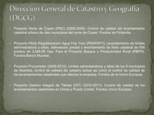
� Proyecto Norte <strong>de</strong> Copan (PNC) (2008-2009): Control <strong>de</strong> calidad <strong>de</strong>l levantamiento<br />
catastral urbano <strong>de</strong> diez municipios <strong>de</strong>l norte <strong>de</strong> Copan. Fondos <strong>de</strong> Finlandia.<br />
� Proyecto Piloto Regularizacion Agua Fria Yoro (PRAPAFY): Levantamiento <strong>de</strong> limites<br />
administrativos y sitios, <strong>de</strong>lineacion predial y levantamiento <strong>de</strong> ficha catastral <strong>de</strong> 606<br />
predios en 3,645.56 Has. Para el Proyecto Bosque y Productividad Rural (PBPR).<br />
Fondos Banco Mundial.<br />
� Proyecto Procorredor (2009-2012): Limites administrativos y sitios <strong>de</strong> los 8 municipios<br />
<strong>de</strong> Atlantida, control <strong>de</strong> calidad <strong>de</strong>l catastro actual asi como el control <strong>de</strong> calidad <strong>de</strong><br />
los levantamientos catastrales que efectue la empresa. Fondos <strong>de</strong> la Union Europea.<br />
� Proyecto Gestion Integral <strong>de</strong> Tierras (GIT) (2010-2011): Control <strong>de</strong> calidad <strong>de</strong> los<br />
levantamientos catastrales en Omoa y Puerto Cortes. Fondos Union Europea.