GIS - 3S新闻周刊
GIS - 3S新闻周刊
GIS - 3S新闻周刊

You also want an ePaper? Increase the reach of your titles
YUMPU automatically turns print PDFs into web optimized ePapers that Google loves.
独家策划<br />
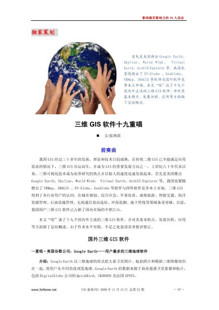
三维 <strong>GIS</strong> 软件十九重唱<br />
文/张琬茜<br />
前奏曲<br />
影响最有影响力的 3S 人杂志<br />
我国 <strong>GIS</strong> 经过三十多年的发展,理论和技术日趋成熟,在传统二维 <strong>GIS</strong> 已不能满足应用<br />
需求的情况下,三维 <strong>GIS</strong> 应运而生,并成为 <strong>GIS</strong> 的重要发展方向之一。上世纪八十年代末以<br />
来,三维可视化技术成为业界研究的热点并以惊人的速度迅速发展起来,首先是美国推出<br />
Google Earth、Skyline、World Wind、 Virtual Earth、Arc<strong>GIS</strong> Explorer 等,我国也紧随<br />
推出了 VRMap、IMA<strong>GIS</strong> 、EV-Globe、GeoGlobe 等软件与国外软件竞争本土市场。三维 <strong>GIS</strong><br />
得到了各行业用户的认同,在城市规划、综合应急、军事仿真、虚拟旅游、智能交通、海洋<br />
资源管理、石油设施管理、无线通信基站选址、环保监测、地下管线等领域备受青睐。目前,<br />
我国国产三维 <strong>GIS</strong> 软件已占据了国内市场的半壁江山。<br />
本文“唱”谈了十九个国内外主流的三维 <strong>GIS</strong> 软件,并对其基本特点、发展历程、应用<br />
等方面做了总结概述。由于作者水平有限,不足之处恳请读者批评指正。<br />
国外三维 <strong>GIS</strong> 软件<br />
一重唱·美国谷歌公司:Google Earth——用户最多的三维地球软件<br />
介绍:Google Earth 以三维地球的形式把大量卫星图片、航拍照片和模拟三维图像组织<br />
在一起,使用户从不同角度浏览地球。Google Earth 的数据来源于商业遥感卫星影像和航片,<br />
包括 DigitalGlobe 公司的 QuickBird,IKOONOS 及法国 SPOTS。<br />
首先是美国推出 Google Earth、<br />
Skyline 、 World Wind 、 Virtual<br />
Earth、Arc<strong>GIS</strong> Explorer 等,我国也<br />
紧随推出了 EV-Globe 、GeoGlobe、<br />
VRMap、IMA<strong>GIS</strong> 等软件与国外软件竞<br />
争本土市场。本文“唱”谈了十九个<br />
国内外主流的三维 <strong>GIS</strong> 软件,并对其<br />
基本特点、发展历程、应用等方面做<br />
了总结概述。<br />
www.3sNews.net 《3S 新闻刊》2009 年 11 月 15 日 总第 22 期 - 17 -