catalogue - Hrvatski hidrografski institut
catalogue - Hrvatski hidrografski institut
catalogue - Hrvatski hidrografski institut
- No tags were found...

Create successful ePaper yourself
Turn your PDF publications into a flip-book with our unique Google optimized e-Paper software.
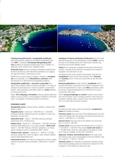
Katalog pomorskih karata i navigacijskih publikacijaprikazuje izdavaku djelatnost Hrvatskog hidrografskog <strong>institut</strong>a(HHI). U izdanjima Hrvatskog hidrografskog <strong>institut</strong>aobraeno je podruje Sredozemnog mora s težištem naJadransko more, Jonsko more i Malteške otoke.Pomorske karte prikazuju odreeno plovidbeno podruje (dioZemljine površine) sa svim elementima potrebnim za navigacijskusigurnost broda i orijentaciju na moru.Klasificirane su prema mjerilu, sadržaju i namjeni na navigacijske,kao najvažnije, te na informativne i pomone karte.Konstruirane su u Mercatorovoj kartografskoj projekciji.Navigacijske publikacije su prirunici za plovidbu kojiopisno daju podatke važne za sigurnost plovidbe, a ne mogu seprikazati na pomorskoj karti. Koriste se zajedno s pomorskomkartom. Osim prirunika za plovidbu izdaju se i ostale publikacijekorisne pomorcima.Mape ”Živi arhipelag u Hrvatskoj” prikazuju ljepote jadranskeobale uz izvorni putopis vrsnog švedskog moreplovca, pomorskekarte i sve podatke o Hrvatskoj potrebne nautiarima.POMORSKE KARTENavigacijske karte su prema mjerilu, sadržaju i namjeni podijeljeneu grupe:Pregledne karte - mjerila od 1: 800 000 do 1: 2 250 000,prikazuju podruje Sredozemnog mora sa dijelom Crnog mora,Jadransko i Jonsko more.Generalne karte - mjerila 1: 300 000, prikazuju podrujeJadranskog mora i Jonskog mora.Obalne karte - mjerila od 1: 100 000 do 1: 250 000, prikazujupodruje Jadranskog mora. U ovu grupu spadaju i Male kartemjerila 1: 100 000. Malog su formata i pogodne su za manjaplovila. Prodaju se samo u kompletima (MK-I i MK-II).Prilazne karte i planovi - mjerila od 1: 1 500 do 1: 55 000,prikazuju važnije luke i luice te zaljeve, uvale, prolaze i dijeloveistone obale Jadranskog mora.Informativne karte, kao dopuna navigacijskim kartama, sadržespecifine podatke važne za plovidbu u Jadranskom i Jonskommoru:Catalogue of Charts and Nautical Publications lists the wholeeditorial production of the Hydrographic Institute (HHI), coveringthe area of the Mediterranean Sea, featuring the Adriatic Sea,the Ionian Sea and the Maltese Islands.Charts show a particular navigational area (part of the Earth’ssurface), including all the elements necessary for the safety ofnavigation and orientation at sea.According to their scale, content and purpose, they fall intonavigational charts as the most important ones, thematicand auxiliary charts. Charts are constructed on the Mercatorprojection.Nautical publications include mariner’s handbooks whichprovide information important for the safety of navigation thatcannot be represented on charts, and other publications usefulto mariners. Nautical publications are intended to be used inconjunction with charts.Folios ”Living Archipelago in Croatia” present natural attractionsof the Adriatic coast, including authentic travel notes by acompetent Swedish sailer, nautical charts, and useful informationon Croatia ideal for leisure mariners.CHARTSAccording to their scale, content and purpose, navigationalcharts are divided as follows:Overview charts show the area of the Mediterranean Sea witha part of the Black Sea, the Adriatic Sea and the Ionian Sea on ascale of 1: 800 000 to 1: 2 250 000.General charts show the area of the Adriatic Sea and IonianSea on a scale 1: 300 000.Coastal charts show the area of the Adriatic Sea on a scale of1: 100 000 to 1: 250 000. They include Small craft charts of1: 100 000 scale, which are small-sized and suitable for smallcraft. They are available as folios MK-I and MK-II.Approach, harbour and berthing charts show major portsand marinas, bays, coves and passages of the east Adriatic coaston a scale of 1: 1 500 to 1: 55 000.Thematic charts are intended to supplement standard navigationalcharts providing particular information important for thenavigation in the Adriatic sea and Ionian Sea:KATALOG POMORSKIH KARATA I NAVIGACIJSKIH PUBLIKACIJA 7CATALOGUE OF CHARTS AND NAUTICAL PUBLICATIONS