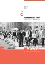
Imagebroschüre 2012 - Hochschule Anhalt
Imagebroschüre 2012 - Hochschule Anhalt
Imagebroschüre 2012 - Hochschule Anhalt

Sie wollen auch ein ePaper? Erhöhen Sie die Reichweite Ihrer Titel.
YUMPU macht aus Druck-PDFs automatisch weboptimierte ePaper, die Google liebt.
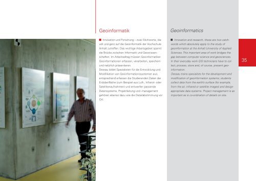
Geoinformatik Geoinformatics<br />
Innovation und Forschung – zwei Stichworte, die<br />
voll und ganz auf die Geoinformatik der <strong>Hochschule</strong><br />
<strong>Anhalt</strong> zutreffen. Das wichtige Arbeitsgebiet spannt<br />
die Brücke zwischen Informatik und Geowissenschaften.<br />
Im Arbeitsalltag müssen Geoinformatiker<br />
Geoinformationen erfassen, verarbeiten, speichern<br />
und natürlich präsentieren.<br />
Dessau bildet Spezialisten für die Entwicklung und<br />
Modifikation von Geoinformationssystemen aus;<br />
entsprechend erfassen die Studierenden Daten der<br />
Erdoberfläche (zum Beispiel aus Luft-, Infrarot- oder<br />
Satellitenaufnahmen) und entwerfen passende<br />
Datensysteme. Projektleitung und -management<br />
gehören ebenso dazu wie die Detailabstimmung vor<br />
Ort.<br />
Innovation and research, these are two catchwords<br />
which absolutely apply to the study of<br />
geoinformation at the <strong>Anhalt</strong> University of Applied<br />
Sciences. This important area of work bridges the<br />
gap between computer science and geosciences.<br />
In their everyday work GIS technicians have to collect,<br />
process, store and, of course, present geoinformation.<br />
Dessau trains specialists for the development and<br />
modification of geoinformation systems; students<br />
collect data from the earth’s surface (for example,<br />
from the air, infrared or satellite images) and design<br />
appropriate data systems. Project management is as<br />
important as is co-ordination of details on site.<br />
35