Tomales Bay Abbotts Lagoon Bombing Range ... - Corpsfuds.org
Tomales Bay Abbotts Lagoon Bombing Range ... - Corpsfuds.org
Tomales Bay Abbotts Lagoon Bombing Range ... - Corpsfuds.org

Create successful ePaper yourself
Turn your PDF publications into a flip-book with our unique Google optimized e-Paper software.
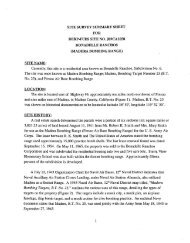
INPR, <strong>Tomales</strong> <strong>Bay</strong> <strong>Bombing</strong>; Target 5<br />
Messrs. Gene Barber and Steven Clonts of TechLaw began the site visit on the east side of<br />
<strong>Tomales</strong> <strong>Bay</strong>. TechLaw then proceeded to the area just east of Hog Island and viewed the area<br />
near the location of the <strong>Tomales</strong> <strong>Bay</strong> <strong>Bombing</strong> Target. <strong>Tomales</strong> <strong>Bay</strong> is a very shallow body of<br />
water, and TechLaw observed that at low tide several fishing boats were left in the mud. The<br />
southern end of the bay is the most shallow. Oyster farms are located in this area. There are<br />
motels, a few small marinas, and a yacht club on the western side of the bay. TechLaw finished<br />
the site visit at <strong>Abbotts</strong> <strong>Lagoon</strong>. The trail to <strong>Abbotts</strong> <strong>Lagoon</strong> is bordered by a cattle ranch and<br />
appears to be less frequently traveled than the trails on the headlands.<br />
As a result of the site visit, Techlaw developed the following conclusions:<br />
The Point Reyes National Seashore is widely used by the public for recreational<br />
purposes, and the historic cattle ranches and dairies are still in operation over most of<br />
the site.<br />
The trails on the Point Reyes headlands are heavily traveled by park visitors.<br />
All of the bombing targets referenced in this report have been removed.<br />
Several of the structures historically utilized by the Government still stand on the<br />
Point Reyes National Seashore.<br />
No evidence was discovered of live ordnance at any of the aerial bombing target areas<br />
investigated (TechLaw Inc., 1998).<br />
USACE. Environmental Design Section (EDS):<br />
The site visit for the USACE was conducted on 29 April 1999, by Ms. Tracie Billington and<br />
Mr. Scott Duen of the USACE, and Mr. Clinton Huckins, USACE Unexploded Ordnance (UXO)<br />
Safety Specialist from Fort Ord, California.<br />
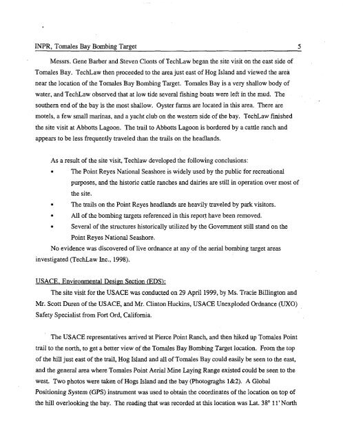
The USACE representatives arrived at Pierce Point Ranch, and then hiked up <strong>Tomales</strong> Point<br />
trail to the north, to get a better view of the <strong>Tomales</strong> <strong>Bay</strong> <strong>Bombing</strong> Target location. From the top<br />
of the hill just east of the trail, Hog Island and all of <strong>Tomales</strong> <strong>Bay</strong> could easily be seen to the east,<br />
and the general area where Tornales Point Aerial Mine Laying <strong>Range</strong> existed could be seen to the<br />
west. Two photos were taken of Hogs Island and the bay (Photograghs 1&2). A Global<br />
Positioning System (GPS) instrument was used to obtain the coordinates of the location on top of<br />
the hill overlooking the bay. The reading that was recorded at this location was Lat. 38" 11'North