Download Version 3.0 rc2 - Inspire - Europa
Download Version 3.0 rc2 - Inspire - Europa
Download Version 3.0 rc2 - Inspire - Europa
You also want an ePaper? Increase the reach of your titles
YUMPU automatically turns print PDFs into web optimized ePapers that Google loves.
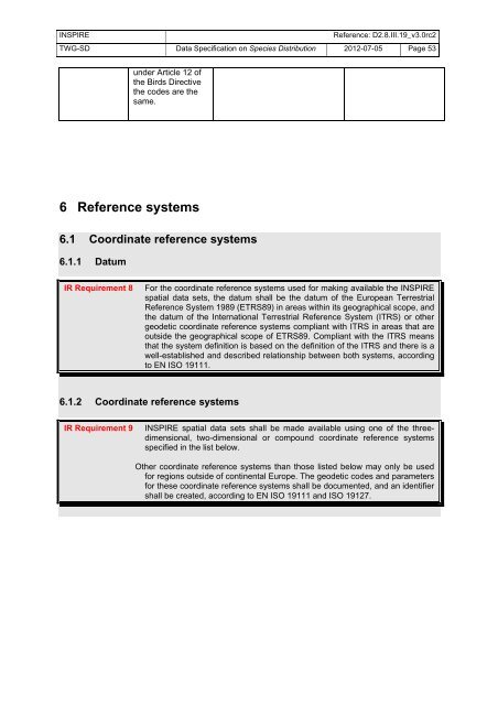
INSPIRE Reference: D2.8.III.19_v<strong>3.0</strong><strong>rc2</strong><br />
TWG-SD Data Specification on Species Distribution 2012-07-05 Page 53<br />
under Article 12 of<br />
the Birds Directive<br />
the codes are the<br />
same.<br />
6 Reference systems<br />
6.1 Coordinate reference systems<br />
6.1.1 Datum<br />
IR Requirement 8 For the coordinate reference systems used for making available the INSPIRE<br />
spatial data sets, the datum shall be the datum of the European Terrestrial<br />
Reference System 1989 (ETRS89) in areas within its geographical scope, and<br />
the datum of the International Terrestrial Reference System (ITRS) or other<br />
geodetic coordinate reference systems compliant with ITRS in areas that are<br />
outside the geographical scope of ETRS89. Compliant with the ITRS means<br />
that the system definition is based on the definition of the ITRS and there is a<br />
well-established and described relationship between both systems, according<br />
to EN ISO 19111.<br />
6.1.2 Coordinate reference systems<br />
IR Requirement 9 INSPIRE spatial data sets shall be made available using one of the threedimensional,<br />
two-dimensional or compound coordinate reference systems<br />
specified in the list below.<br />
Other coordinate reference systems than those listed below may only be used<br />
for regions outside of continental Europe. The geodetic codes and parameters<br />
for these coordinate reference systems shall be documented, and an identifier<br />
shall be created, according to EN ISO 19111 and ISO 19127.


