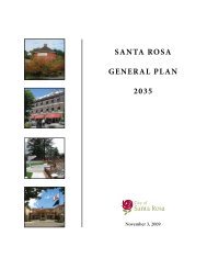
Fountaingrove Environmental Impact Report - City of Santa Rosa ...
Fountaingrove Environmental Impact Report - City of Santa Rosa ...
Fountaingrove Environmental Impact Report - City of Santa Rosa ...

You also want an ePaper? Increase the reach of your titles
YUMPU automatically turns print PDFs into web optimized ePapers that Google loves.
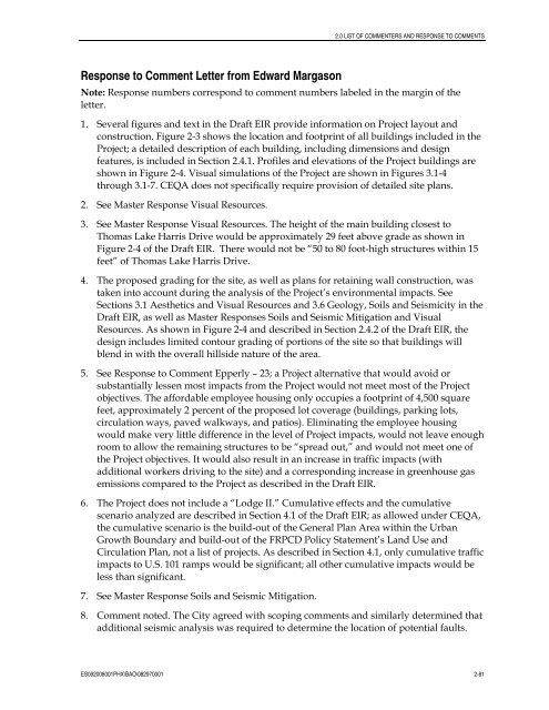
Response to Comment Letter from Edward Margason<br />
2.0 LIST OF COMMENTERS AND RESPONSE TO COMMENTS<br />
Note: Response numbers correspond to comment numbers labeled in the margin <strong>of</strong> the<br />
letter.<br />
1. Several figures and text in the Draft EIR provide information on Project layout and<br />
construction. Figure 2-3 shows the location and footprint <strong>of</strong> all buildings included in the<br />
Project; a detailed description <strong>of</strong> each building, including dimensions and design<br />
features, is included in Section 2.4.1. Pr<strong>of</strong>iles and elevations <strong>of</strong> the Project buildings are<br />
shown in Figure 2-4. Visual simulations <strong>of</strong> the Project are shown in Figures 3.1-4<br />
through 3.1-7. CEQA does not specifically require provision <strong>of</strong> detailed site plans.<br />
2. See Master Response Visual Resources.<br />
3. See Master Response Visual Resources. The height <strong>of</strong> the main building closest to<br />
Thomas Lake Harris Drive would be approximately 29 feet above grade as shown in<br />
Figure 2-4 <strong>of</strong> the Draft EIR. There would not be “50 to 80 foot-high structures within 15<br />
feet” <strong>of</strong> Thomas Lake Harris Drive.<br />
4. The proposed grading for the site, as well as plans for retaining wall construction, was<br />
taken into account during the analysis <strong>of</strong> the Project’s environmental impacts. See<br />
Sections 3.1 Aesthetics and Visual Resources and 3.6 Geology, Soils and Seismicity in the<br />
Draft EIR, as well as Master Responses Soils and Seismic Mitigation and Visual<br />
Resources. As shown in Figure 2-4 and described in Section 2.4.2 <strong>of</strong> the Draft EIR, the<br />
design includes limited contour grading <strong>of</strong> portions <strong>of</strong> the site so that buildings will<br />
blend in with the overall hillside nature <strong>of</strong> the area.<br />
5. See Response to Comment Epperly – 23; a Project alternative that would avoid or<br />
substantially lessen most impacts from the Project would not meet most <strong>of</strong> the Project<br />
objectives. The affordable employee housing only occupies a footprint <strong>of</strong> 4,500 square<br />
feet, approximately 2 percent <strong>of</strong> the proposed lot coverage (buildings, parking lots,<br />
circulation ways, paved walkways, and patios). Eliminating the employee housing<br />
would make very little difference in the level <strong>of</strong> Project impacts, would not leave enough<br />
room to allow the remaining structures to be “spread out,” and would not meet one <strong>of</strong><br />
the Project objectives. It would also result in an increase in traffic impacts (with<br />
additional workers driving to the site) and a corresponding increase in greenhouse gas<br />
emissions compared to the Project as described in the Draft EIR.<br />
6. The Project does not include a “Lodge II.” Cumulative effects and the cumulative<br />
scenario analyzed are described in Section 4.1 <strong>of</strong> the Draft EIR; as allowed under CEQA,<br />
the cumulative scenario is the build-out <strong>of</strong> the General Plan Area within the Urban<br />
Growth Boundary and build-out <strong>of</strong> the FRPCD Policy Statement’s Land Use and<br />
Circulation Plan, not a list <strong>of</strong> projects. As described in Section 4.1, only cumulative traffic<br />
impacts to U.S. 101 ramps would be significant; all other cumulative impacts would be<br />
less than significant.<br />
7. See Master Response Soils and Seismic Mitigation.<br />
8. Comment noted. The <strong>City</strong> agreed with scoping comments and similarly determined that<br />
additional seismic analysis was required to determine the location <strong>of</strong> potential faults.<br />
ES092008001PHX\BAO\082970001 2-81