

stratigraphy and oil shale potential - Geology Ontario
stratigraphy and oil shale potential - Geology Ontario
stratigraphy and oil shale potential - Geology Ontario

Create successful ePaper yourself
Turn your PDF publications into a flip-book with our unique Google optimized e-Paper software.
26<br />
resources. Previous hydrocarbon discoveries were reviewed by<br />
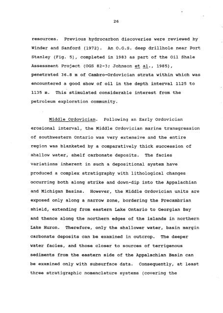
Winder <strong>and</strong> Sanford (1972). An O.G.S. deep drillhole near Port<br />
Stanley (Fig. 5), completed in 1983 as part of the Oil Shale<br />
Assessment Project (OGS 82-3; Johnson et al., 1985),<br />
penetrated 36.8 m of Cambro-Ordovician strata within which was<br />
encountered a good show of <strong>oil</strong> in the depth interval 1125 to<br />
1135 m. This stimulated considerable interest from the<br />
petroleum exploration community.<br />
Middle Ordovician. Following an Early Ordovician<br />
erosional interval, the Middle Ordovician marine transgression<br />
of southwestern <strong>Ontario</strong> was very extensive <strong>and</strong> the entire<br />
region was blanketed by a comparatively thick succession of<br />
shallow water, shelf carbonate deposits. The facies<br />
variations inherent in such a depositional system have<br />
produced a complex <strong>stratigraphy</strong> with lithological changes<br />
occurring both along strike <strong>and</strong> down-dip into the Appalachian<br />
<strong>and</strong> Michigan Basins. However, the Middle Ordovician units are<br />
exposed only along a narrow zone, bordering the Precambrian<br />
shield, extending from eastern Lake <strong>Ontario</strong> to Georgian Bay<br />
<strong>and</strong> thence along the northern edges of the isl<strong>and</strong>s in northern<br />
Lake Huron. Therefore, only the shallower water, basin margin<br />
carbonate deposits can be examined in outcrop. The deeper<br />
water facies, <strong>and</strong> those closer to sources of terrigenous<br />
sediments from the eastern side of the Appalachian Basin can<br />
be examined only with subsurface data. Consequently, at least<br />
three stratigraphic nomenclature systems (covering the


