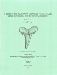
PHASE I ENVIRONMENTAL SITE ASSESSMENT OLD PANOLA ...
PHASE I ENVIRONMENTAL SITE ASSESSMENT OLD PANOLA ...
PHASE I ENVIRONMENTAL SITE ASSESSMENT OLD PANOLA ...

Create successful ePaper yourself
Turn your PDF publications into a flip-book with our unique Google optimized e-Paper software.
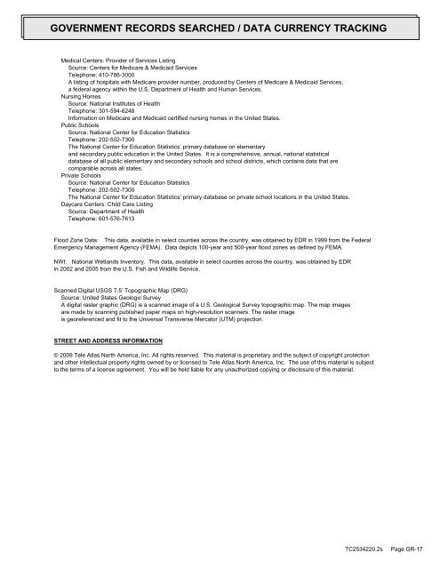
GOVERNMENT RECORDS SEARCHED / DATA CURRENCY TRACKING<br />
Medical Centers: Provider of Services Listing<br />
Source: Centers for Medicare & Medicaid Services<br />
Telephone: 410-786-3000<br />
A listing of hospitals with Medicare provider number, produced by Centers of Medicare & Medicaid Services,<br />
a federal agency within the U.S. Department of Health and Human Services.<br />
Nursing Homes<br />
Source: National Institutes of Health<br />
Telephone: 301-594-6248<br />
Information on Medicare and Medicaid certified nursing homes in the United States.<br />
Public Schools<br />
Source: National Center for Education Statistics<br />
Telephone: 202-502-7300<br />
The National Center for Education Statistics’ primary database on elementary<br />
and secondary public education in the United States. It is a comprehensive, annual, national statistical<br />
database of all public elementary and secondary schools and school districts, which contains data that are<br />
comparable across all states.<br />
Private Schools<br />
Source: National Center for Education Statistics<br />
Telephone: 202-502-7300<br />
The National Center for Education Statistics’ primary database on private school locations in the United States.<br />
Daycare Centers: Child Care Listing<br />
Source: Department of Health<br />
Telephone: 601-576-7613<br />
Flood Zone Data: This data, available in select counties across the country, was obtained by EDR in 1999 from the Federal<br />
Emergency Management Agency (FEMA). Data depicts 100-year and 500-year flood zones as defined by FEMA.<br />
NWI: National Wetlands Inventory. This data, available in select counties across the country, was obtained by EDR<br />
in 2002 and 2005 from the U.S. Fish and Wildlife Service.<br />
Scanned Digital USGS 7.5’ Topographic Map (DRG)<br />
Source: United States Geologic Survey<br />
A digital raster graphic (DRG) is a scanned image of a U.S. Geological Survey topographic map. The map images<br />
are made by scanning published paper maps on high-resolution scanners. The raster image<br />
is georeferenced and fit to the Universal Transverse Mercator (UTM) projection.<br />
STREET AND ADDRESS INFORMATION<br />
© 2009 Tele Atlas North America, Inc. All rights reserved. This material is proprietary and the subject of copyright protection<br />
and other intellectual property rights owned by or licensed to Tele Atlas North America, Inc. The use of this material is subject<br />
to the terms of a license agreement. You will be held liable for any unauthorized copying or disclosure of this material.<br />
TC2534220.2s<br />
Page GR-17