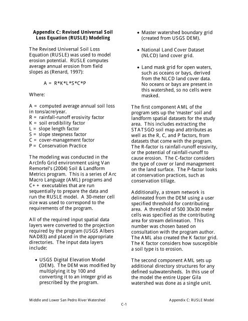
Appendix C: Revised Universal Soil Loss Equation (RUSLE ...
Appendix C: Revised Universal Soil Loss Equation (RUSLE ...
Appendix C: Revised Universal Soil Loss Equation (RUSLE ...
Create successful ePaper yourself
Turn your PDF publications into a flip-book with our unique Google optimized e-Paper software.
<strong>Appendix</strong> C: <strong>Revised</strong> <strong>Universal</strong> <strong>Soil</strong><br />
<strong>Loss</strong> <strong>Equation</strong> (<strong>RUSLE</strong>) Modeling<br />
The <strong>Revised</strong> <strong>Universal</strong> <strong>Soil</strong> <strong>Loss</strong><br />
<strong>Equation</strong> (<strong>RUSLE</strong>) was used to model<br />
erosion potential. <strong>RUSLE</strong> computes<br />
average annual erosion from field<br />
slopes as (Renard, 1997):<br />
Where:<br />
A = R*K*L*S*C*P<br />
A = computed average annual soil loss<br />
in tons/acre/year.<br />
R = rainfall-runoff erosivity factor<br />
K = soil erodibility factor<br />
L = slope length factor<br />
S = slope steepness factor<br />
C = cover-management factor<br />
P = Conservation Practice<br />
The modeling was conducted in the<br />
ArcInfo Grid environment using Van<br />
Remortel’s (2004) <strong>Soil</strong> & Landform<br />
Metrics program. This is a series of Arc<br />
Macro Language (AML) programs and<br />
C++ executables that are run<br />
sequentially to prepare the data and<br />
run the <strong>RUSLE</strong> model. A 30-meter cell<br />
size was used to correspond to the<br />
requirements of the program.<br />
All of the required input spatial data<br />
layers were converted to the projection<br />
required by the program (USGS Albers<br />
NAD83) and placed in the appropriate<br />
directories. The input data layers<br />
include:<br />
• USGS Digital Elevation Model<br />
(DEM). The DEM was modified by<br />
multiplying it by 100 and<br />
converting it to an integer grid as<br />
prescribed by the program.<br />
• Master watershed boundary grid<br />
(created from USGS DEM).<br />
• National Land Cover Dataset<br />
(NLCD) land cover grid.<br />
• Land mask grid for open waters,<br />
such as oceans or bays, derived<br />
from the NLCD land cover data.<br />
No oceans or bays are present in<br />
this watershed, so no cells were<br />
masked.<br />
The first component AML of the<br />
program sets up the ‘master’ soil and<br />
landform spatial datasets for the study<br />
area. This includes extracting the<br />
STATSGO soil map and attributes as<br />
well as the R, C, and P factors, from<br />
datasets that come with the program.<br />
The R-factor is rainfall-runoff erosivity,<br />
or the potential of rainfall-runoff to<br />
cause erosion. The C-factor considers<br />
the type of cover or land management<br />
on the land surface. The P-factor looks<br />
at conservation practices, such as<br />
conservation tillage.<br />
Additionally, a stream network is<br />
delineated from the DEM using a user<br />
specified threshold for contributing<br />
area. A threshold of 500 30x30 meter<br />
cells was specified as the contributing<br />
area for stream delineation. This<br />
number was chosen based on<br />
consultation with the program author.<br />
The AML also created the K factor grid.<br />
The K factor considers how susceptible<br />
a soil type is to erosion.<br />
The second component AML sets up<br />
additional directory structures for any<br />
defined subwatersheds. In this use of<br />
the model the entire Upper Gila<br />
watershed was done as a single unit.<br />
Middle and Lower San Pedro River Watershed<br />
C-1<br />
<strong>Appendix</strong> C: <strong>RUSLE</strong> Model
The third component AML iteratively<br />
computes a set of soil parameters<br />
derived from the National Resource<br />
Conservation Service’s State <strong>Soil</strong><br />
Geographic (STATSGO) Dataset.<br />
The fourth component AML calculates<br />
the LS factor according to the <strong>RUSLE</strong><br />
criteria using DEM-based elevation and<br />
flow path. The L and S factors take<br />
into account hill slope length and hill<br />
slope steepness.<br />
The fifth component AML runs <strong>RUSLE</strong><br />
and outputs R, K, LS, C, P factor grids<br />
and an A value grid that contains the<br />
modeled estimate of erosion in<br />
tons/acre/year for each cell.<br />
References:<br />
Renard, K.G., G.R. Foster, G.A. Weesies, D.K. McCool, and D.C. Yoder. 1997.<br />
Predicting <strong>Soil</strong> Erosion by Water: A Guide to Conservation Planning with the<br />
<strong>Revised</strong> <strong>Universal</strong> <strong>Soil</strong> <strong>Loss</strong> <strong>Equation</strong> (<strong>RUSLE</strong>). United States Department of<br />
Agriculture, Agriculture Handbook No. 703. USDA, Washington D.C.<br />
Van Remortel, R. 2004. <strong>Soil</strong> & Landform Metrics: Programs and U.S. Geodatasets<br />
Version 1.1. Environmental Protection Agency. Las Vegas, NV.<br />
Data Sources*:<br />
U.S. Department of Agriculture, Natural Resources Conservation Service.<br />
Major Land Resource Area Map, National Land Cover Dataset (NLCD). July 15,<br />
2003. ftp-fc.sc.egov.usda.gov/NHQ/pub/land/arc_export/us48mlra.e00.zip<br />
State <strong>Soil</strong>s Geographic (STATSGO) Dataset. April 17, 2003.<br />
http://www.ncgc.nrcs.usda.gov/branch/ssb/products/statsgo/<br />
U.S. Geological Survey.<br />
National Elevation Dataset 30-Meter Digital Elevation Models (DEMs). April 8,<br />
2003. http://gisdata.usgs.net/NED/default.asp<br />
*Note: Dates for each data set refer to when data was downloaded from the website. Metadata<br />
(information about how and when the GIS data were created) is available from the website in<br />
most cases. Metadata includes the original source of the data, when it was created, its<br />
geographic projection and scale, the name(s) of the contact person and/or organization, and<br />
general description of the data.<br />
Middle and Lower San Pedro River Watershed<br />
C-2<br />
<strong>Appendix</strong> C: <strong>RUSLE</strong> Model


