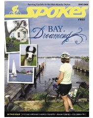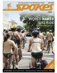
April 2011 - Spokes Magazine
April 2011 - Spokes Magazine
April 2011 - Spokes Magazine

You also want an ePaper? Increase the reach of your titles
YUMPU automatically turns print PDFs into web optimized ePapers that Google loves.
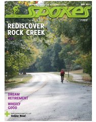
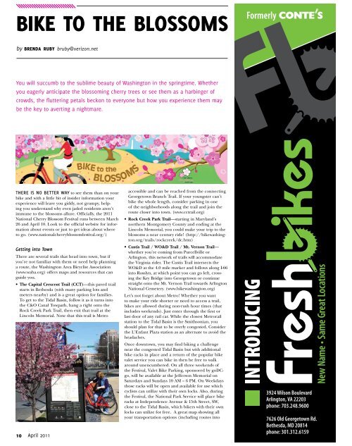
Bike to the Blossoms<br />
by brenda ruby bruby@verizon.net<br />
You will succumb to the sublime beauty of Washington in the springtime. Whether<br />
you eagerly anticipate the blossoming cherry trees or see them as a harbinger of<br />
crowds, the fluttering petals beckon to everyone but how you experience them may<br />
be the key to averting a nightmare.<br />
there is no better way to see them than on your<br />
bike and with a little bit of insider information your<br />
experience will leave you giddy, not grumpy, helping<br />
you understand why even jaded residents aren’t<br />
immune to the blossoms allure. Officially, the <strong>2011</strong><br />
National Cherry Blossom Festival runs between March<br />
26 and <strong>April</strong> 10. Look to the official website for information<br />
about events or just to get ideas about where<br />
to go. (www.nationalcherryblossomfestival.org/)<br />
Getting into Town<br />
There are several trails that head into town, but if<br />
you’re not familiar with them or need help planning<br />
a route, the Washington Area Bicyclist Association<br />
(www.waba.org) offers maps and resources that can<br />
guide you.<br />
• The Capital Crescent Trail (CCT)—this paved trail<br />
starts in Bethesda (with many parking lots and<br />
meters nearby) and is a great option for families.<br />
To get to the Tidal Basin, follow it as it turns into<br />
the C&O Canal Towpath, hang a right onto the<br />
Rock Creek Park Trail, then exit that trail at the<br />
Lincoln Memorial. Note that this trail is Metro<br />
accessible and can be reached from the connecting<br />
Georgetown Branch Trail. If your youngster can’t<br />
bike the whole length, consider parking in one<br />
of the neighborhoods along the trail and join the<br />
route closer into town. (www.cctrail.org)<br />
• Rock Creek Park Trail—starting in Maryland’s<br />
northern Montgomery County and ending at the<br />
Lincoln Memorial, you could make your trip to the<br />
blossoms a near century ride! (http://bikewashington.org/trails/rockcreek/dc.htm)<br />
• Custis Trail / WO&D Trail / Mt. Vernon Trail—<br />
whether you’re coming from Purcellville or<br />
Arlington, this network of trails will accommodate<br />
the Virginia rider. The Custis Trail intersects the<br />
WO&D at the 4.0 mile marker and follows along I-66<br />
into Rosslyn, at which point you can go left, crossing<br />
the Key Bridge into Georgetown or continue<br />
straight onto the Mt. Vernon Trail towards Arlington<br />
National Cemetery. (www.bikewashington.org)<br />
Let’s not forget about Metro! Whether you want<br />
to make your ride shorter or need to access a trail,<br />
bikes are allowed during non-rush hour times (that<br />
includes weekends). Just enter through the first or<br />
last door of any rail car. While the closest Metrorail<br />
station to the Tidal Basin is the Smithsonian, you<br />
should plan for that to be overly congested. Consider<br />
the L’Enfant Plaza station as an alternate to avoid the<br />
headaches.<br />
Once downtown, you may find biking a challenge<br />
near the congested Tidal Basin but with additional<br />
bike racks in place and a return of the popular bike<br />
valet service you can bike in then be free to walk<br />
around unencumbered. On all three weekends of<br />
the Festival, Valet Bike Parking, sponsored by goDCgo,<br />
will be available at the Jefferson Memorial on<br />
Saturdays and Sundays 10 AM – 6 PM. On Weekdays<br />
those racks will be open and available for use which<br />
cyclists can utilize with their own locks. Also, during<br />
the Festival, the National Park Service will place bike<br />
racks at Independence Avenue & 15th Street, SW,<br />
close to the Tidal Basin, which bikers with their own<br />
locks can utilize for free. A great map showing all<br />
your transportation options (including routes into<br />
10 <strong>April</strong> <strong>2011</strong>