Geomorphology and bottom sediments of the Pylos area
Geomorphology and bottom sediments of the Pylos area
Geomorphology and bottom sediments of the Pylos area
You also want an ePaper? Increase the reach of your titles
YUMPU automatically turns print PDFs into web optimized ePapers that Google loves.
323<br />
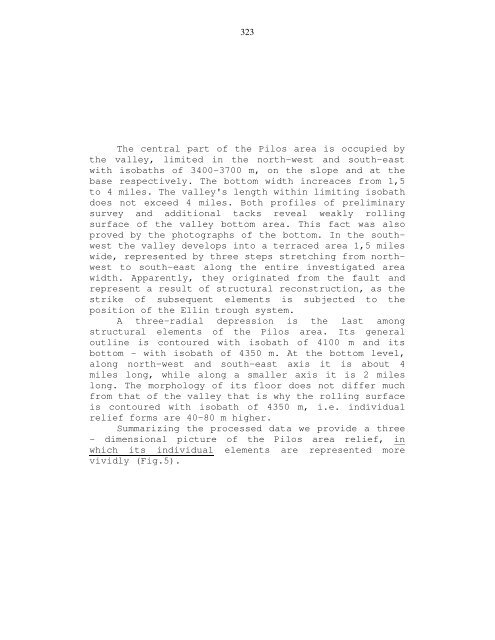
The central part <strong>of</strong> <strong>the</strong> Pilos <strong>area</strong> is occupied by<br />
<strong>the</strong> valley, limited in <strong>the</strong> north-west <strong>and</strong> south-east<br />
with isobaths <strong>of</strong> 3400-3700 m, on <strong>the</strong> slope <strong>and</strong> at <strong>the</strong><br />
base respectively. The <strong>bottom</strong> width increaces from 1,5<br />
to 4 miles. The valley's length within limiting isobath<br />
does not exceed 4 miles. Both pr<strong>of</strong>iles <strong>of</strong> preliminary<br />
survey <strong>and</strong> additional tacks reveal weakly rolling<br />
surface <strong>of</strong> <strong>the</strong> valley <strong>bottom</strong> <strong>area</strong>. This fact was also<br />
proved by <strong>the</strong> photographs <strong>of</strong> <strong>the</strong> <strong>bottom</strong>. In <strong>the</strong> southwest<br />
<strong>the</strong> valley develops into a terraced <strong>area</strong> 1,5 miles<br />
wide, represented by three steps stretching from northwest<br />
to south-east along <strong>the</strong> entire investigated <strong>area</strong><br />
width. Apparently, <strong>the</strong>y originated from <strong>the</strong> fault <strong>and</strong><br />
represent a result <strong>of</strong> structural reconstruction, as <strong>the</strong><br />
strike <strong>of</strong> subsequent elements is subjected to <strong>the</strong><br />
position <strong>of</strong> <strong>the</strong> Ellin trough system.<br />
A three-radial depression is <strong>the</strong> last among<br />
structural elements <strong>of</strong> <strong>the</strong> Pilos <strong>area</strong>. Its general<br />
outline is contoured with isobath <strong>of</strong> 4100 m <strong>and</strong> its<br />
<strong>bottom</strong> - with isobath <strong>of</strong> 4350 m. At <strong>the</strong> <strong>bottom</strong> level,<br />
along north-west <strong>and</strong> south-east axis it is about 4<br />
miles long, while along a smaller axis it is 2 miles<br />
long. The morphology <strong>of</strong> its floor does not differ much<br />
from that <strong>of</strong> <strong>the</strong> valley that is why <strong>the</strong> rolling surface<br />
is contoured with isobath <strong>of</strong> 4350 m, i.e. individual<br />
relief forms are 40-80 m higher.<br />
Summarizing <strong>the</strong> processed data we provide a three<br />
- dimensional picture <strong>of</strong> <strong>the</strong> Pilos <strong>area</strong> relief, in<br />
which its individual elements are represented more<br />
vividly (Fig.5).


