Core Strategy (PDF) - Lake District National Park
Core Strategy (PDF) - Lake District National Park
Core Strategy (PDF) - Lake District National Park
Create successful ePaper yourself
Turn your PDF publications into a flip-book with our unique Google optimized e-Paper software.
<strong>Lake</strong> <strong>District</strong> <strong>National</strong> <strong>Park</strong> <strong>Core</strong> <strong>Strategy</strong> including Proposals Map Adoption October 2010<br />
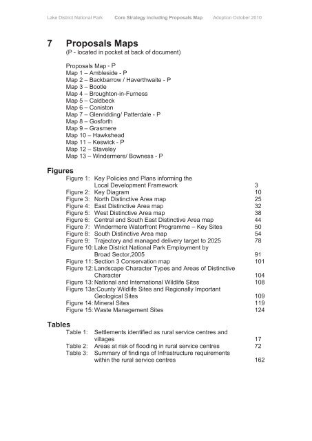
7 Proposals Maps<br />
(located in pocket at back of document)<br />
Proposals Map - P<br />
Map 1 – Ambleside<br />
Map 2 – Backbarrow / Haverthwaite<br />
Map 3 – Bootle<br />
Map 4 – Broughton-in-Furness<br />
Map 5 – Caldbeck<br />
Map 6 – Coniston<br />
Map 7 – Glenridding/ Patterdale<br />
Map 8 – Gosforth<br />
Map 9 – Grasmere<br />
Map 10 – Hawkshead<br />
Map 11 – Keswick - P<br />
Map 12 – Staveley<br />
Map 13 – Windermere/ Bowness<br />
Figures<br />
Figure 1: Key Policies and Plans informing the<br />
Local Development Framework 3<br />
Figure 2: Key Diagram 10<br />
Figure 3: North Distinctive Area map 25<br />
Figure 4: East Distinctive Area map 32<br />
Figure 5: West Distinctive Area map 38<br />
Figure 6: Central and South East Distinctive Area map 44<br />
Figure 7: Windermere Waterfront Programme – Key Sites 50<br />
Figure 8: South Distinctive Area map 54<br />
Figure 9: Trajectory and managed delivery target to 2025 78<br />
Figure 10: <strong>Lake</strong> <strong>District</strong> <strong>National</strong> <strong>Park</strong> Employment by<br />
Broad Sector,2005 91<br />
Figure 11: Section 3 Conservation map 101<br />
Figure 12: Landscape Character Types and Areas of Distinctive<br />
Character 104<br />
Figure 13: <strong>National</strong> and International Wildlife Sites 108<br />
Figure 13a:County Wildlife Sites and Regionally Important<br />
Geological Sites 109<br />
Figure 14: Mineral Sites 119<br />
Figure 15: Waste Management Sites 124<br />
Tables<br />
Table 1:<br />
Settlements identified as rural service centres and<br />
villages 17<br />
Table 2: Areas at risk of flooding in rural service centres 72<br />
Table 3:<br />
Summary of findings of Infrastructure requirements<br />
within the rural service centres 162


