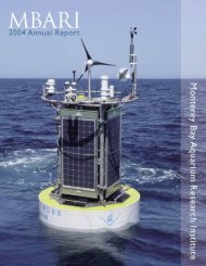
Brochure about MBARI (PDF) - Monterey Bay Aquarium Research ...
Brochure about MBARI (PDF) - Monterey Bay Aquarium Research ...
Brochure about MBARI (PDF) - Monterey Bay Aquarium Research ...

Create successful ePaper yourself
Turn your PDF publications into a flip-book with our unique Google optimized e-Paper software.
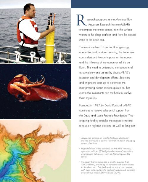
esearch programs at the <strong>Monterey</strong> <strong>Bay</strong><br />
<strong>Aquarium</strong> <strong>Research</strong> Institute (<strong>MBARI</strong>)<br />
encompass the entire ocean, from the surface<br />
waters to the deep seafloor, and from the coastal<br />
zone to the open sea.<br />
The more we learn <strong>about</strong> seafloor geology,<br />
ocean life, and marine chemistry, the better we<br />
can understand human impacts on the ocean<br />
and the influence of the ocean on all life on<br />
Earth. This need to understand the ocean in all<br />
its complexity and variability drives <strong>MBARI</strong>’s<br />
research and development efforts. Scientists<br />
and engineers team up to determine the<br />
most pressing ocean science questions, then<br />
create the instruments and methods to resolve<br />
those mysteries.<br />
Founded in 1987 by David Packard, <strong>MBARI</strong><br />
continues to receive substantial support from<br />
the David and Lucile Packard Foundation. This<br />
ongoing funding enables the nonprofit institute<br />
to take on high-risk projects, as well as long-term<br />
◀ Advanced sensors on simple floats are deployed<br />
around the world to collect information <strong>about</strong> changing<br />
ocean chemistry.<br />
◀ High-definition video cameras on <strong>MBARI</strong>’s remotely<br />
operated vehicles (ROVs) provide views of unfamiliar<br />
animals and behaviors, such as this Octopoteuthis<br />
squid.<br />
◀ <strong>Monterey</strong> Canyon plunges to depths greater than<br />
4,000 meters, providing researchers with easy access<br />
to the deep sea. Detailed seafloor maps are created<br />
with data collected by the institute’s advanced mapping<br />
autonomous underwater vehicles (AUVs).