Resource Access Roads - Ministry of Natural Resources - Ontario.ca
Resource Access Roads - Ministry of Natural Resources - Ontario.ca
Resource Access Roads - Ministry of Natural Resources - Ontario.ca
You also want an ePaper? Increase the reach of your titles
YUMPU automatically turns print PDFs into web optimized ePapers that Google loves.
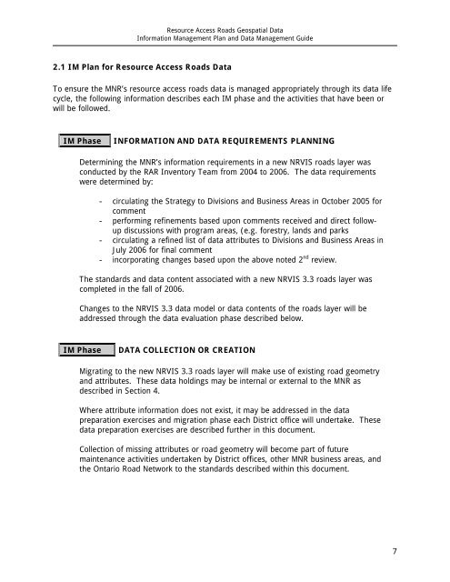
<strong>Resource</strong> <strong>Access</strong> <strong>Roads</strong> Geospatial Data<br />
Information Management Plan and Data Management Guide<br />
2.1 IM Plan for <strong>Resource</strong> <strong>Access</strong> <strong>Roads</strong> Data<br />
To ensure the MNR’s resource access roads data is managed appropriately through its data life<br />
cycle, the following information describes each IM phase and the activities that have been or<br />
will be followed.<br />
IM Phase<br />
INFORMATION AND DATA REQUIREMENTS PLANNING<br />
Determining the MNR’s information requirements in a new NRVIS roads layer was<br />
conducted by the RAR Inventory Team from 2004 to 2006. The data requirements<br />
were determined by:<br />
- circulating the Strategy to Divisions and Business Areas in October 2005 for<br />
comment<br />
- performing refinements based upon comments received and direct followup<br />
discussions with program areas, (e.g. forestry, lands and parks<br />
- circulating a refined list <strong>of</strong> data attributes to Divisions and Business Areas in<br />
July 2006 for final comment<br />
- incorporating changes based upon the above noted 2 nd review.<br />
The standards and data content associated with a new NRVIS 3.3 roads layer was<br />
completed in the fall <strong>of</strong> 2006.<br />
Changes to the NRVIS 3.3 data model or data contents <strong>of</strong> the roads layer will be<br />
addressed through the data evaluation phase described below.<br />
IM Phase<br />
DATA COLLECTION OR CREATION<br />
Migrating to the new NRVIS 3.3 roads layer will make use <strong>of</strong> existing road geometry<br />
and attributes. These data holdings may be internal or external to the MNR as<br />
described in Section 4.<br />
Where attribute information does not exist, it may be addressed in the data<br />
preparation exercises and migration phase each District <strong>of</strong>fice will undertake. These<br />
data preparation exercises are described further in this document.<br />
Collection <strong>of</strong> missing attributes or road geometry will become part <strong>of</strong> future<br />
maintenance activities undertaken by District <strong>of</strong>fices, other MNR business areas, and<br />
the <strong>Ontario</strong> Road Network to the standards described within this document.<br />
7


