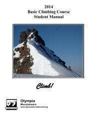
Wilderness Skills - Olympia Mountaineers
Wilderness Skills - Olympia Mountaineers
Wilderness Skills - Olympia Mountaineers

Create successful ePaper yourself
Turn your PDF publications into a flip-book with our unique Google optimized e-Paper software.
3. Twist the graduated dial, keeping the straightedge on both points, until the north on the graduated dial<br />
points to the map’s true north and the meridian lines also point true north.<br />
4. Read the bearing in degrees by looking the tick on the dial at the direction pointer.<br />
Orient the Map<br />
This is useful for a quick assessment of your situation and for generally “orienting” yourself to the items on the<br />
map and what they look like in the field.<br />
How to:<br />
1. Set the graduated dial so that north lines up with the direction pointer.<br />
2. Line up one of the compass’s straightedges so that it’s lined up with a north-south line on the map.<br />
3. Keeping the map and compass pressed together, so they don’t shift relative to each other, turn the map<br />
until the compass needle is lined up in the orientation arrow.<br />
4. The map is now oriented to the earth. Things to the right of the map are east, to the left, west.<br />
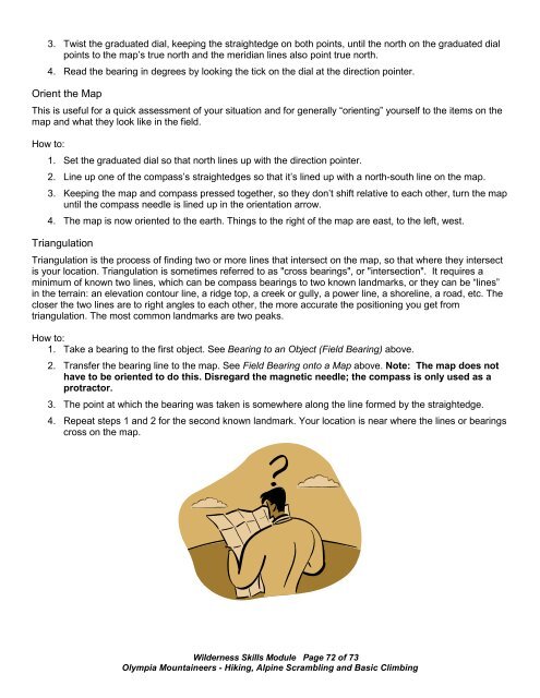
Triangulation<br />
Triangulation is the process of finding two or more lines that intersect on the map, so that where they intersect<br />
is your location. Triangulation is sometimes referred to as "cross bearings", or "intersection". It requires a<br />
minimum of known two lines, which can be compass bearings to two known landmarks, or they can be “lines”<br />
in the terrain: an elevation contour line, a ridge top, a creek or gully, a power line, a shoreline, a road, etc. The<br />
closer the two lines are to right angles to each other, the more accurate the positioning you get from<br />
triangulation. The most common landmarks are two peaks.<br />
How to:<br />
1. Take a bearing to the first object. See Bearing to an Object (Field Bearing) above.<br />
2. Transfer the bearing line to the map. See Field Bearing onto a Map above. Note: The map does not<br />
have to be oriented to do this. Disregard the magnetic needle; the compass is only used as a<br />
protractor.<br />
3. The point at which the bearing was taken is somewhere along the line formed by the straightedge.<br />
4. Repeat steps 1 and 2 for the second known landmark. Your location is near where the lines or bearings<br />
cross on the map.<br />
<strong>Wilderness</strong> <strong>Skills</strong> Module Page 72 of 73<br />
<strong>Olympia</strong> <strong>Mountaineers</strong> - Hiking, Alpine Scrambling and Basic Climbing