Bengalla Mine Environmental Impact Statement (1993) - Part 1 of 3
Bengalla Mine Environmental Impact Statement (1993) - Part 1 of 3
Bengalla Mine Environmental Impact Statement (1993) - Part 1 of 3

Create successful ePaper yourself
Turn your PDF publications into a flip-book with our unique Google optimized e-Paper software.
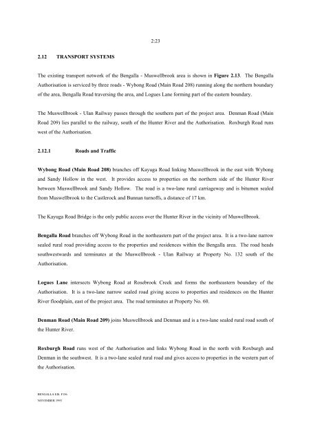
2:23<br />
2.12 TRANSPORT SYSTEMS<br />
The existing transport network <strong>of</strong> the <strong>Bengalla</strong> - Muswellbrook area is shown in Figure 2.13. The <strong>Bengalla</strong><br />
Authorisation is serviced by three roads - Wybong Road (Main Road 208) running along the northern boundary<br />
<strong>of</strong> the area, <strong>Bengalla</strong> Road traversing the area, and Logues Lane forming part <strong>of</strong> the eastern boundary.<br />
The Muswellbrook - Ulan Railway passes through the southern part <strong>of</strong> the project area. Denman Road (Main<br />
Road 209) lies parallel to the railway, south <strong>of</strong> the Hunter River and the Authorisation. Roxburgh Road runs<br />
west <strong>of</strong> the Authorisation.<br />
2.12.1 Roads and Traffic<br />
Wybong Road (Main Road 208) branches <strong>of</strong>f Kayuga Road linking Muswellbrook in the east with Wybong<br />
and Sandy Hollow in the west. It provides access to properties on the northern side <strong>of</strong> the Hunter River<br />
between Muswellbrook and Sandy Hollow. The road is a two-lane rural carriageway and is bitumen sealed<br />
from Muswellbrook to the Castlerock and Bunnan turn<strong>of</strong>fs, a distance <strong>of</strong> 17 km.<br />
The Kayuga Road Bridge is the only public access over the Hunter River in the vicinity <strong>of</strong> Muswellbrook.<br />
<strong>Bengalla</strong> Road branches <strong>of</strong>f Wybong Road in the northeastern part <strong>of</strong> the project area. It is a two-lane narrow<br />
sealed rural road providing access to the properties and residences within the <strong>Bengalla</strong> area. The road heads<br />
southwestwards and terminates at the Muswellbrook - Ulan Railway at Property No. 132 south <strong>of</strong> the<br />
Authorisation.<br />
Logues Lane intersects Wybong Road at Rosebrook Creek and forms the northeastern boundary <strong>of</strong> the<br />
Authorisation. It is a two-lane narrow sealed road giving access to properties and residences on the Hunter<br />
River floodplain, east <strong>of</strong> the project area. The road terminates at Property No. 60.<br />
Denman Road (Main Road 209) joins Muswellbrook and Denman and is a two-lane sealed rural road south <strong>of</strong><br />
the Hunter River.<br />
Roxburgh Road runs west <strong>of</strong> the Authorisation and links Wybong Road in the north with Roxburgh and<br />
Denman in the southwest. It is a two-lane sealed rural road and gives access to properties in the western part <strong>of</strong><br />
the Authorisation.<br />
BENGALLA EIS. F156<br />
NOVEMBER <strong>1993</strong>