The siting and design of aquaculture in the landscape: visual and ...
The siting and design of aquaculture in the landscape: visual and ...
The siting and design of aquaculture in the landscape: visual and ...
You also want an ePaper? Increase the reach of your titles
YUMPU automatically turns print PDFs into web optimized ePapers that Google loves.
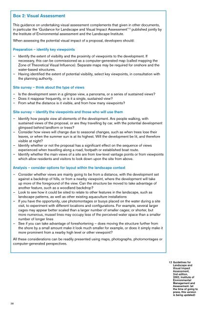
Box 2: Visual Assessment<br />
This guidance on undertak<strong>in</strong>g <strong>visual</strong> assessment complements that given <strong>in</strong> o<strong>the</strong>r documents,<br />
<strong>in</strong> particular <strong>the</strong> ‘Guidance for L<strong>and</strong>scape <strong>and</strong> Visual Impact Assessment’ 12 published jo<strong>in</strong>tly by<br />
<strong>the</strong> Institute <strong>of</strong> Environmental assessment <strong>and</strong> <strong>the</strong> L<strong>and</strong>scape Institute.<br />
When assess<strong>in</strong>g <strong>the</strong> potential <strong>visual</strong> impact <strong>of</strong> a proposal, developers should:<br />
Preparation – identify key viewpo<strong>in</strong>ts<br />
––<br />
Identify <strong>the</strong> extent <strong>of</strong> visibility <strong>and</strong> <strong>the</strong> proximity <strong>of</strong> viewpo<strong>in</strong>ts to <strong>the</strong> development. If<br />
necessary, this can be commissioned as a computer-generated map (called mapp<strong>in</strong>g <strong>the</strong><br />
Zone <strong>of</strong> <strong>The</strong>oretical Visual Influence). Separate maps may be required for onshore <strong>and</strong> <strong>the</strong><br />
water-based structures.<br />
––<br />
Hav<strong>in</strong>g identified <strong>the</strong> extent <strong>of</strong> potential visibility, select key viewpo<strong>in</strong>ts, <strong>in</strong> consultation with<br />
<strong>the</strong> plann<strong>in</strong>g authority.<br />
Site survey – th<strong>in</strong>k about <strong>the</strong> type <strong>of</strong> views<br />
––<br />
Is <strong>the</strong> development seen <strong>in</strong> a glimpse view, a panorama, or a series <strong>of</strong> susta<strong>in</strong>ed views?<br />
––<br />
Does it reappear frequently, or is it a s<strong>in</strong>gle, susta<strong>in</strong>ed view?<br />
––<br />
From what <strong>the</strong> distance is it visible, <strong>and</strong> from how many viewpo<strong>in</strong>ts?<br />
Site survey – identify <strong>the</strong> viewpo<strong>in</strong>ts <strong>and</strong> those who will use <strong>the</strong>m<br />
––<br />
Identify how people view all elements <strong>of</strong> <strong>the</strong> development. Are people walk<strong>in</strong>g, with<br />
susta<strong>in</strong>ed views <strong>of</strong> <strong>the</strong> proposal, or are <strong>the</strong>y travell<strong>in</strong>g by car, with <strong>the</strong> potential development<br />
glimpsed beh<strong>in</strong>d l<strong>and</strong>form or trees?<br />
––<br />
Consider how views will change due to seasonal changes, such as when trees lose <strong>the</strong>ir<br />
leaves, or when <strong>the</strong> summer sun is at its highest. Will <strong>the</strong> development be lit, <strong>and</strong> <strong>the</strong>refore<br />
visible at night?<br />
––<br />
Identify whe<strong>the</strong>r or not <strong>the</strong> proposal has a significant effect on <strong>the</strong> sequence <strong>of</strong> views<br />
experienced when travell<strong>in</strong>g along a road, footpath or established boat route.<br />
––<br />
Identify whe<strong>the</strong>r <strong>the</strong> ma<strong>in</strong> views <strong>of</strong> a site are from low-level vantage po<strong>in</strong>ts or from viewpo<strong>in</strong>ts<br />
which allow residents <strong>and</strong> visitors to look down upon <strong>the</strong> site from above.<br />
Analysis – consider options for layout with<strong>in</strong> <strong>the</strong> l<strong>and</strong>scape context<br />
––<br />
Consider whe<strong>the</strong>r views are ma<strong>in</strong>ly go<strong>in</strong>g to be from a distance, with <strong>the</strong> development set<br />
aga<strong>in</strong>st a backdrop <strong>of</strong> hills, or from a nearby viewpo<strong>in</strong>t, where <strong>the</strong> development will take<br />
up more <strong>of</strong> <strong>the</strong> foreground <strong>of</strong> <strong>the</strong> view. Can <strong>the</strong> structure be moved to take advantage <strong>of</strong><br />
ano<strong>the</strong>r feature, such as a woodl<strong>and</strong> backdrop?<br />
––<br />
Look to see how it could be sited to relate to o<strong>the</strong>r features <strong>in</strong> <strong>the</strong> l<strong>and</strong>scape, such as<br />
l<strong>and</strong>scape patterns, as well as o<strong>the</strong>r exist<strong>in</strong>g <strong>aquaculture</strong> <strong>in</strong>stallations<br />
––<br />
If you have <strong>the</strong> opportunity, use photomontages or buoys placed on <strong>the</strong> water dur<strong>in</strong>g a site<br />
visit, to experiment with different locations <strong>and</strong> configurations. For example, several larger<br />
cages may appear better scaled than a larger number <strong>of</strong> smaller cages; or shorter, but<br />
more numerous, mussel l<strong>in</strong>es may occupy less <strong>of</strong> <strong>the</strong> perceived water space than a smaller<br />
number <strong>of</strong> longer l<strong>in</strong>es<br />
––<br />
See if you can take advantage <strong>of</strong> foreshorten<strong>in</strong>g – does mov<strong>in</strong>g <strong>the</strong> structure fur<strong>the</strong>r from<br />
<strong>the</strong> shore by a small amount make it look much smaller for example, or does it simply make it<br />
more prom<strong>in</strong>ent from a nearby high level or o<strong>the</strong>r viewpo<strong>in</strong>t?<br />
All <strong>the</strong>se considerations can be readily presented us<strong>in</strong>g maps, photographs, photomontages or<br />
computer-generated perspectives.<br />
12 Guidel<strong>in</strong>es for<br />
L<strong>and</strong>scape <strong>and</strong><br />
Visual Impact<br />
Assessment,<br />
2nd edition,<br />
2002, Institute <strong>of</strong><br />
Environmental<br />
Management <strong>and</strong><br />
Assessment. (at<br />
<strong>the</strong> time <strong>of</strong> go<strong>in</strong>g to<br />
press, this version<br />
is be<strong>in</strong>g updated)<br />
38


