

ukho cartographic training - United Kingdom Hydrographic Office
ukho cartographic training - United Kingdom Hydrographic Office
ukho cartographic training - United Kingdom Hydrographic Office

Create successful ePaper yourself
Turn your PDF publications into a flip-book with our unique Google optimized e-Paper software.
UKHO CARTOGRAPHIC TRAINING<br />
COURSE: A TWO WEEK INTRODUCTION<br />
TO HYDROGRAPHIC DATA PROCESSING<br />
AND MARINE CARTOGRAPHY<br />
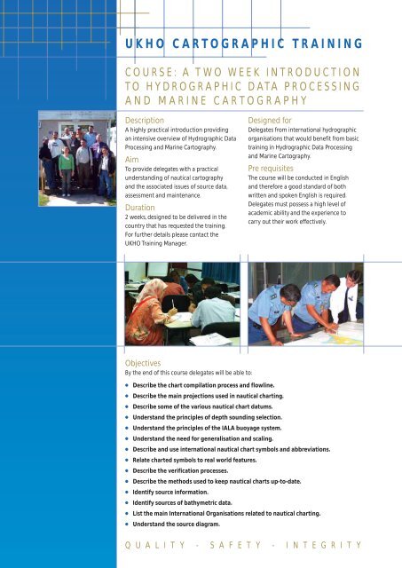
Description<br />
A highly practical introduction providing<br />
an intensive overview of <strong>Hydrographic</strong> Data<br />
Processing and Marine Cartography.<br />
Aim<br />
To provide delegates with a practical<br />
understanding of nautical cartography<br />
and the associated issues of source data,<br />
assessment and maintenance.<br />
Duration<br />
2 weeks, designed to be delivered in the<br />
country that has requested the <strong>training</strong>.<br />
For further details please contact the<br />
UKHO Training Manager.<br />
Designed for<br />
Delegates from international hydrographic<br />
organisations that would benefit from basic<br />
<strong>training</strong> in <strong>Hydrographic</strong> Data Processing<br />
and Marine Cartography.<br />
Pre requisites<br />
The course will be conducted in English<br />
and therefore a good standard of both<br />
written and spoken English is required.<br />
Delegates must possess a high level of<br />
academic ability and the experience to<br />
carry out their work effectively.<br />
Objectives<br />
By the end of this course delegates will be able to:<br />
●<br />
●<br />
●<br />
●<br />
●<br />
●<br />
●<br />
●<br />
●<br />
●<br />
●<br />
●<br />
●<br />
●<br />
Describe the chart compilation process and flowline.<br />
Describe the main projections used in nautical charting.<br />
Describe some of the various nautical chart datums.<br />
Understand the principles of depth sounding selection.<br />
Understand the principles of the IALA buoyage system.<br />
Understand the need for generalisation and scaling.<br />
Describe and use international nautical chart symbols and abbreviations.<br />
Relate charted symbols to real world features.<br />
Describe the verification processes.<br />
Describe the methods used to keep nautical charts up-to-date.<br />
Identify source information.<br />
Identify sources of bathymetric data.<br />
List the main International Organisations related to nautical charting.<br />
Understand the source diagram.<br />
Q U A L I T Y - S A F E T Y - I N T E G R I T Y


