Shared Earth Model to Live Earth Model Deeper ... - Net Brains
Shared Earth Model to Live Earth Model Deeper ... - Net Brains
Shared Earth Model to Live Earth Model Deeper ... - Net Brains

You also want an ePaper? Increase the reach of your titles
YUMPU automatically turns print PDFs into web optimized ePapers that Google loves.
Let me take you back fifteen years, <strong>to</strong> the start of 1994. At that time, integration was a great<br />
buzz‐word in exploration and production. There were integrated multi‐disciplinary teams in<br />
the larger and more progressive oil companies and people were looking in<strong>to</strong> how software<br />
technology might be harnessed <strong>to</strong> push forward this integration.<br />
Prior <strong>to</strong> this time, for a decade or more, numerical modelling had been growing in scope and<br />
influence.<br />
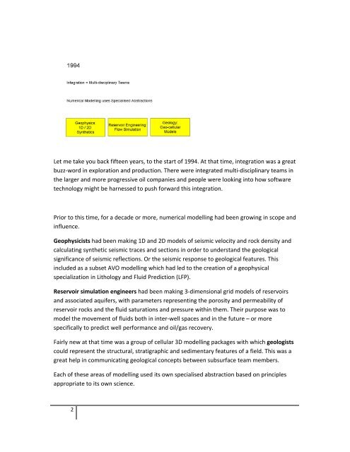
Geophysicists had been making 1D and 2D models of seismic velocity and rock density and<br />
calculating synthetic seismic traces and sections in order <strong>to</strong> understand the geological<br />
significance of seismic reflections. Or the seismic response <strong>to</strong> geological features. This<br />
included as a subset AVO modelling which had led <strong>to</strong> the creation of a geophysical<br />
specialization in Lithology and Fluid Prediction (LFP).<br />
Reservoir simulation engineers had been making 3‐dimensional grid models of reservoirs<br />
and associated aquifers, with parameters representing the porosity and permeability of<br />
reservoir rocks and the fluid saturations and pressure within them. Their purpose was <strong>to</strong><br />
model the movement of fluids both in inter‐well spaces and in the future – or more<br />
specifically <strong>to</strong> predict well performance and oil/gas recovery.<br />
Fairly new at that time was a group of cellular 3D modelling packages with which geologists<br />
could represent the structural, stratigraphic and sedimentary features of a field. This was a<br />
great help in communicating geological concepts between subsurface team members.<br />
Each of these areas of modelling used its own specialised abstraction based on principles<br />
appropriate <strong>to</strong> its own science.<br />
2