Roxeth Hill Appraisal 1st Draft , item 42. PDF 5 MB - Harrow Council
Roxeth Hill Appraisal 1st Draft , item 42. PDF 5 MB - Harrow Council
Roxeth Hill Appraisal 1st Draft , item 42. PDF 5 MB - Harrow Council

You also want an ePaper? Increase the reach of your titles
YUMPU automatically turns print PDFs into web optimized ePapers that Google loves.
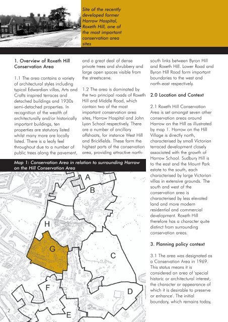
Site of the recently<br />
developed former<br />
<strong>Harrow</strong> Hospital,<br />
<strong>Roxeth</strong> <strong>Hill</strong>, one of<br />
the most important<br />
conservation area<br />
sites<br />
1. Overview of <strong>Roxeth</strong> <strong>Hill</strong><br />
Conservation Area<br />
1.1 The area contains a variety<br />
of architectural styles including<br />
typical Edwardian villas, Arts and<br />
Crafts inspired terraces and<br />
detached buildings and 1930s<br />
semi-detached properties. In<br />
recognition of the wealth of<br />
architecturally and/or historically<br />
important buildings, ten<br />
properties are statutory listed<br />
whilst many more are locally<br />
listed. There is a leafy feel<br />
throughout due to a number of<br />
public trees along the pavement,<br />
and a great deal of dense<br />
private trees and shrubbery and<br />
large open spaces visible from<br />
the streetscene.<br />
Map 1: Conservation Area in relation to surrounding <strong>Harrow</strong><br />
on the <strong>Hill</strong> Conservation Area<br />
1.2 The area is dominated by<br />
the two principal roads of <strong>Roxeth</strong><br />
<strong>Hill</strong> and Middle Road, which<br />
contain two of the most<br />
important conservation area<br />
sites, <strong>Harrow</strong> Hospital and John<br />
Lyon School respectively. There<br />
are a number of ancillary<br />
offshoots, for instance West <strong>Hill</strong><br />
and Brickfields. These form the<br />
highest parts of the conservation<br />
area, providing attractive northsouth<br />
links between Byron <strong>Hill</strong><br />
and <strong>Roxeth</strong> <strong>Hill</strong>. Lower Road and<br />
Byron <strong>Hill</strong> Road form important<br />
boundaries to the west and<br />
north-east respectively.<br />
2.0 Location and Context<br />
2.1 <strong>Roxeth</strong> <strong>Hill</strong> Conservation<br />
Area is set amongst seven other<br />
conservation areas around<br />
<strong>Harrow</strong> on the <strong>Hill</strong> as illustrated<br />
by map 1. <strong>Harrow</strong> on the <strong>Hill</strong><br />
Village is directly north,<br />
characterised by small Victorian<br />
terraced development closely<br />
associated with the growth of<br />
<strong>Harrow</strong> School. Sudbury <strong>Hill</strong> is<br />
to the east and the Mount Park<br />
estate to the south, each<br />
characterised by large Victorian<br />
villas in extensive grounds. The<br />
south and west of the<br />
conservation area is<br />
characterised by less elevated<br />
land and more modern<br />
residential and commercial<br />
development. <strong>Roxeth</strong> <strong>Hill</strong><br />
therefore has a character quite<br />
distinct from surrounding<br />
conservation areas.<br />
3. Planning policy context<br />
3.1 The area was designated as<br />
a Conservation Area in 1969.<br />
This status means it is<br />
considered an area of 'special<br />
historic or architectural interest,<br />
the character or appearance of<br />
which it is desirable to preserve<br />
or enhance'. The initial<br />
boundary, which remains today,<br />
2