Remote Sensing
Remote Sensing
Remote Sensing

Create successful ePaper yourself
Turn your PDF publications into a flip-book with our unique Google optimized e-Paper software.
<strong>Remote</strong> <strong>Sensing</strong> Satellite<br />
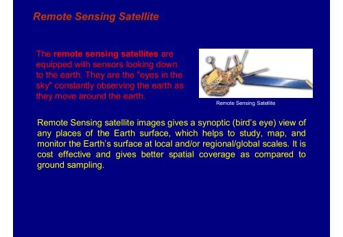
The remote sensing satellites are<br />
equipped with sensors looking down<br />
to the earth. They are the "eyes in the<br />
sky" constantly observing the earth as<br />
they move around the earth.<br />
<strong>Remote</strong> <strong>Sensing</strong> Satellite<br />
<strong>Remote</strong> <strong>Sensing</strong> satellite images gives a synoptic (bird’s eye) view of<br />
any places of the Earth surface, which helps to study, map, and<br />
monitor the Earth’s surface at local and/or regional/global scales. It is<br />
cost effective and gives better spatial coverage as compared to<br />
ground sampling.<br />
<strong>Remote</strong> <strong>Sensing</strong> - Introduction