Draft Supplemental AIS Report Kamehameha Highway Guideway
Draft Supplemental AIS Report Kamehameha Highway Guideway
Draft Supplemental AIS Report Kamehameha Highway Guideway
You also want an ePaper? Increase the reach of your titles
YUMPU automatically turns print PDFs into web optimized ePapers that Google loves.
Cultural Surveys Hawai‘i Job Code: WAIMALU 2<br />
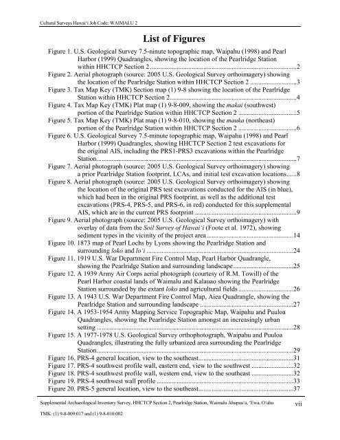
List of Figures<br />
Figure 1. U.S. Geological Survey 7.5-ninute topographic map, Waipahu (1998) and Pearl<br />
Harbor (1999) Quadrangles, showing the location of the Pearlridge Station<br />
within HHCTCP Section 2 ........................................................................................2<br />
Figure 2. Aerial photograph (source: 2005 U.S. Geological Survey orthoimagery) showing<br />
the location of the Pearlridge Station within HHCTCP Section 2 ............................3<br />
Figure 3. Tax Map Key (TMK) Section map (1) 9-8 showing the location of the Pearlridge<br />
Station within HHCTCP Section 2 ............................................................................4<br />
Figure 4. Tax Map Key (TMK) Plat map (1) 9-8-009, showing the makai (southwest)<br />
portion of the Pearlridge Station within HHCTCP Section 2 ...................................5<br />
Figure 5. Tax Map Key (TMK) Plat map (1) 9-8-010, showing the mauka (northeast)<br />
portion of the Pearlridge Station within HHCTCP Section 2 ...................................6<br />
Figure 6. U.S. Geological Survey 7.5-minute topographic map, Waipahu (1998) and Pearl<br />
Harbor (1999) Quadrangles, showing HHCTCP Section 2 test excavations for<br />
the original <strong>AIS</strong>, including the PRS1-PRS3 excavations within the Pearlridge<br />
Station ........................................................................................................................7<br />
Figure 7. Aerial photograph (source: 2005 U.S. Geological Survey orthoimagery) showing<br />
a prior Pearlridge Station footprint, LCAs, and initial test excavation locations ......8<br />
Figure 8. Aerial photograph (source: 2005 U.S. Geological Survey orthoimagery) showing<br />
the location of the original PRS test excavations conducted for the <strong>AIS</strong> (in blue),<br />
which had been in the original PRS footprint, as well as the additional test<br />
excavations (PRS-4, PRS-5, and PRS-6, in red) conducted for this supplemental<br />
<strong>AIS</strong>, which are in the current PRS footprint .............................................................9<br />
Figure 9. Aerial photograph (source: 2005 U.S. Geological Survey orthoimagery) with<br />
overlay of data from the Soil Survey of Hawai‘i (Foote et al. 1972), showing<br />
sediment types in the vicinity of the project area ....................................................14<br />
Figure 10. 1873 map of Pearl Lochs by Lyons showing the Pearlridge Station and<br />
surrounding loko and lo‘i ........................................................................................24<br />
Figure 11. 1919 U.S. War Department Fire Control Map, Pearl Harbor Quadrangle,<br />
showing the Pearlridge Station and surrounding landscape ....................................25<br />
Figure 12. A 1939 Army Air Corps aerial photograph (courtesy of R.M. Towill) of the<br />
Pearl Harbor coastal lands of Waimalu and Kalauao showing the Pearlridge<br />
Station surrounded by the extant loko and agricultural fields .................................26<br />
Figure 13. A 1943 U.S. War Department Fire Control Map, Aiea Quadrangle, showing the<br />
Pearlridge Station and surrounding landscape ........................................................27<br />
Figure 14. A 1953-1954 Army Mapping Service Topographic Map, Waipahu and Puuloa<br />
Quadrangles, showing the Pearlridge Station amongst an increasingly urban<br />
setting ......................................................................................................................28<br />
Figure 15. A 1977-1978 U.S. Geological Survey orthophotograph, Waipahu and Puuloa<br />
Quadrangles, illustrating the fully urbanized area surrounding the Pearlridge<br />
Station ......................................................................................................................29<br />
Figure 16. PRS-4 general location, view to the southeast .........................................................31<br />
Figure 17. PRS-4 southwest profile wall, eastern end, view to the southwest .........................32<br />
Figure 18. PRS-4 southwest profile wall, western end, view to the southeast .........................32<br />
Figure 19. PRS-4 southwest wall profile ..................................................................................33<br />
Figure 20. PRS-5 general location, view to the southeast .........................................................37<br />
<strong>Supplemental</strong> Archaeological Inventory Survey, HHCTCP Section 2, Pearlridge Station, Waimalu Ahupua‘a, ‘Ewa, O‘ahu<br />
TMK: (1) 9-8-009:017 and (1) 9-8-010:002<br />
vii


