

Introducing HIPS and SIPS 7.0 Learn More - Caris
Introducing HIPS and SIPS 7.0 Learn More - Caris
Introducing HIPS and SIPS 7.0 Learn More - Caris

Create successful ePaper yourself
Turn your PDF publications into a flip-book with our unique Google optimized e-Paper software.
CARIS<br />
<strong>HIPS</strong> <strong>SIPS</strong> <strong>7.0</strong><br />
<strong>and</strong><br />
Release the potential...<br />
With this new release of CARIS <strong>HIPS</strong> <strong>and</strong> <strong>SIPS</strong> you have invested<br />
in a tool that will release the full potential of your data.<br />
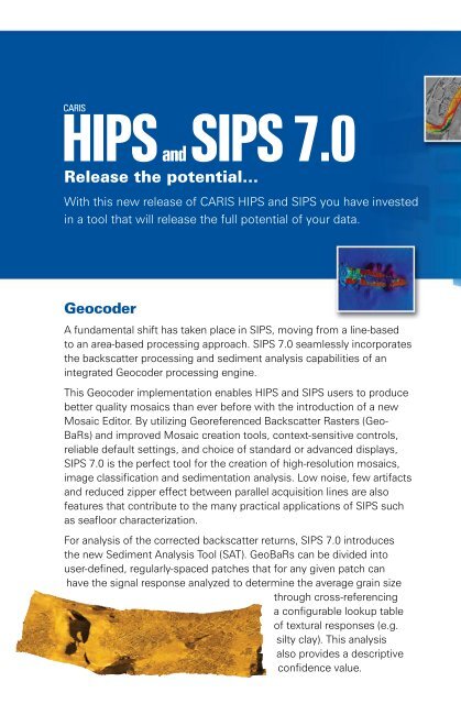
Geocoder<br />
A fundamental shift has taken place in <strong>SIPS</strong>, moving from a line-based<br />
to an area-based processing approach. <strong>SIPS</strong> <strong>7.0</strong> seamlessly incorporates<br />
the backscatter processing <strong>and</strong> sediment analysis capabilities of an<br />
integrated Geocoder processing engine.<br />
This Geocoder implementation enables <strong>HIPS</strong> <strong>and</strong> <strong>SIPS</strong> users to produce<br />
better quality mosaics than ever before with the introduction of a new<br />
Mosaic Editor. By utilizing Georeferenced Backscatter Rasters (Geo-<br />
BaRs) <strong>and</strong> improved Mosaic creation tools, context-sensitive controls,<br />
reliable default settings, <strong>and</strong> choice of st<strong>and</strong>ard or advanced displays,<br />
<strong>SIPS</strong> <strong>7.0</strong> is the perfect tool for the creation of high-resolution mosaics,<br />
image classification <strong>and</strong> sedimentation analysis. Low noise, few artifacts<br />
<strong>and</strong> reduced zipper effect between parallel acquisition lines are also<br />
features that contribute to the many practical applications of <strong>SIPS</strong> such<br />
as seafloor characterization.<br />
For analysis of the corrected backscatter returns, <strong>SIPS</strong> <strong>7.0</strong> introduces<br />
the new Sediment Analysis Tool (SAT). GeoBaRs can be divided into<br />
user-defined, regularly-spaced patches that for any given patch can<br />
have the signal response analyzed to determine the average grain size<br />
through cross-referencing<br />
a configurable lookup table<br />
of textural responses (e.g.<br />
silty clay). This analysis<br />
also provides a descriptive<br />
confidence value.


