Kwamgumi Forest Reserve - Frontier-publications.co.uk
Kwamgumi Forest Reserve - Frontier-publications.co.uk
Kwamgumi Forest Reserve - Frontier-publications.co.uk
You also want an ePaper? Increase the reach of your titles
YUMPU automatically turns print PDFs into web optimized ePapers that Google loves.
6 <strong>Kwamgumi</strong> <strong>Forest</strong> <strong>Reserve</strong><br />
3.0 DESCRIPTION OF THE FOREST<br />
3.1 General description<br />
3.1.1 Description<br />
Name:<br />
Area:<br />
Status:<br />
Maps:<br />
<strong>Kwamgumi</strong> <strong>Forest</strong> <strong>Reserve</strong><br />
Muheza District, Tanga Region, Tanzania.<br />
1708.4; 17.1 km 2 ; 6 sq. miles<br />
Central Area <strong>Forest</strong> <strong>Reserve</strong><br />
Gazetted 1905, Gazettement notice GN 195<br />
Ordnance Survey topographic maps 1: 50 000 Series Y742<br />
Sheet 110/3 ‘Hemagoma’ of 1988 and Sheet 110/4 ‘Gombero’ of 1989<br />
<strong>Forest</strong> Division map: Jb 204<br />
3.1.2 Location<br />
Grid reference: 38 o 44’E to 38 o 47’E, 4 o 55’S to 4 o 57’S<br />
Elevation<br />
150 - 915 m a.s.l.<br />
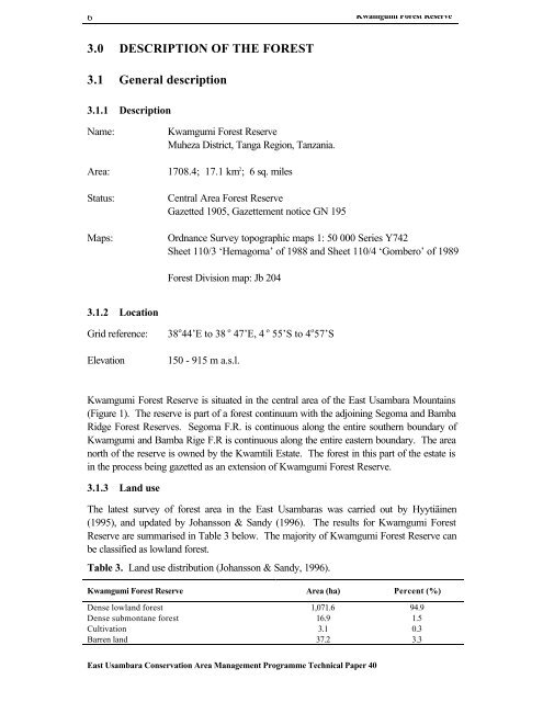
<strong>Kwamgumi</strong> <strong>Forest</strong> <strong>Reserve</strong> is situated in the central area of the East Usambara Mountains<br />
(Figure 1). The reserve is part of a forest <strong>co</strong>ntinuum with the adjoining Segoma and Bamba<br />
Ridge <strong>Forest</strong> <strong>Reserve</strong>s. Segoma F.R. is <strong>co</strong>ntinuous along the entire southern boundary of<br />
<strong>Kwamgumi</strong> and Bamba Rige F.R is <strong>co</strong>ntinuous along the entire eastern boundary. The area<br />
north of the reserve is owned by the Kwamtili Estate. The forest in this part of the estate is<br />
in the process being gazetted as an extension of <strong>Kwamgumi</strong> <strong>Forest</strong> <strong>Reserve</strong>.<br />
3.1.3 Land use<br />
The latest survey of forest area in the East Usambaras was carried out by Hyytiäinen<br />
(1995), and updated by Johansson & Sandy (1996). The results for <strong>Kwamgumi</strong> <strong>Forest</strong><br />
<strong>Reserve</strong> are summarised in Table 3 below. The majority of <strong>Kwamgumi</strong> <strong>Forest</strong> <strong>Reserve</strong> can<br />
be classified as lowland forest.<br />
Table 3. Land use distribution (Johansson & Sandy, 1996).<br />
<strong>Kwamgumi</strong> <strong>Forest</strong> <strong>Reserve</strong> Area (ha) Percent (%)<br />
Dense lowland forest 1,071.6 94.9<br />
Dense submontane forest 16.9 1.5<br />
Cultivation 3.1 0.3<br />
Barren land 37.2 3.3<br />
East Usambara Conservation Area Management Programme Technical Paper 40


