San Juan Islands, WA - Puget Sound Lidar Consortium
San Juan Islands, WA - Puget Sound Lidar Consortium
San Juan Islands, WA - Puget Sound Lidar Consortium
SHOW LESS

You also want an ePaper? Increase the reach of your titles
YUMPU automatically turns print PDFs into web optimized ePapers that Google loves.
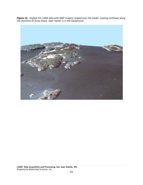
Figure 15. Highest hit LiDAR data with NAIP imagery draped over the model. Looking northeast along<br />
the shoreline of Orcas Island. Deer harbor is in the background.<br />
LiDAR Data Acquisition and Processing: <strong>San</strong> <strong>Juan</strong> <strong>Islands</strong>, <strong>WA</strong><br />
Prepared by Watershed Sciences, Inc.<br />
-23-