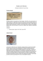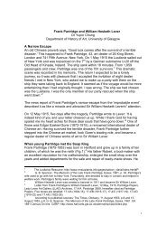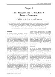
Wirral Part 4 - National Museums Liverpool
Wirral Part 4 - National Museums Liverpool
Wirral Part 4 - National Museums Liverpool

You also want an ePaper? Increase the reach of your titles
YUMPU automatically turns print PDFs into web optimized ePapers that Google loves.
• Inconsistencies in recording had produced a biased dataset, creating<br />
problems with querying (under / over estimates) and skewed results. <strong>Liverpool</strong><br />
had the least in-depth recording c.900 polygons (i.e. time-depth was too<br />
shallow), certainly in comparison with the <strong>Wirral</strong> which appeared overrecorded<br />
c.3000 records (as of June 2005).<br />
• Omissions in the Specific Date and Historic Character Type Fields (drop-down<br />
field boxes in the database) led to omissions and inconsistent final (GIS<br />
based) reports.<br />
• Some wrong identifications - some sites were recorded as one thing when<br />
they were definitely something else.<br />
• Mismatches in dates in all three data fields led to problems with querying<br />
(particularly Historic Character Type and Specific Date).<br />
• Unseen or unrecorded sites - quite a few sites (particularly Places of Worship<br />
and canals) were missed and not recorded. There were a number of multiple<br />
records for one area (a recording error) with correlating multiple polygons.<br />
In addition<br />
• A review was undertaken to identify any work that could be completed by an<br />
assistant – i.e. completion of discreet settlement studies to existing pro-forma.<br />
• An assessment was made on whether to transfer the existing survey data to<br />
the HBSMR system used by the Historic Environment Record (ExeGeIS) HLC<br />
module prior to completion or post completion of data capture.<br />
Solutions and result<br />
The solution was the total reworking of the pre-existing dataset (and associated GIS).<br />
This began in 2008 and involved:<br />
• The entire recasting of the pilot project (<strong>Liverpool</strong>) in-line with other districts.<br />
Result: <strong>Liverpool</strong> district has a complete dataset and associated GIS. From<br />
the c.900 records (pre-April 2008), <strong>Liverpool</strong> now has 3189 records - more in<br />
line with the complexity city.<br />
• The completion of all relevant drop-down boxes for all the districts.<br />
Result: consistent querying and reporting.<br />
• The complete overhaul of the GIS mapping, involving editing /subtraction and<br />
redrawing of pre-existing polygons and the introduction of new ones. Result:<br />
corrected, consistent and new records<br />
312


![Ancient Egypt trail [227kb .pdf] - National Museums Liverpool](https://img.yumpu.com/48998817/1/184x260/ancient-egypt-trail-227kb-pdf-national-museums-liverpool.jpg?quality=85)