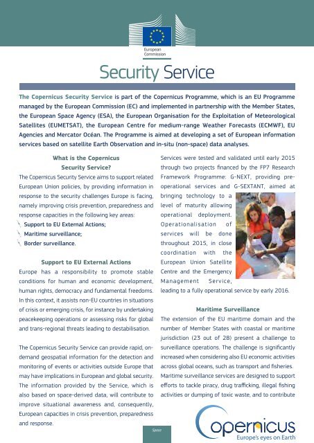
Sentinel 2A Launch
Sentinel 2A Launch
Sentinel 2A Launch
Create successful ePaper yourself
Turn your PDF publications into a flip-book with our unique Google optimized e-Paper software.
Security Service<br />
The Copernicus Security Service is part of the Copernicus Programme, which is an EU Programme<br />
managed by the European Commission (EC) and implemented in partnership with the Member States,<br />
the European Space Agency (ESA), the European Organisation for the Exploitation of Meteorological<br />
Satellites (EUMETSAT), the European Centre for medium-range Weather Forecasts (ECMWF), EU<br />
Agencies and Mercator Océan. The Programme is aimed at developing a set of European information<br />
services based on satellite Earth Observation and in-situ (non-space) data analyses.<br />
What is the Copernicus<br />
Services were tested and validated until early 2015<br />
Security Service?<br />
through two projects financed by the FP7 Research<br />
The Copernicus Security Service aims to support related Framework Programme: G-NEXT, providing preoperational<br />
European Union policies, by providing information in<br />
services and G-SEXTANT, aimed at<br />
response to the security challenges Europe is facing, bringing technology to a<br />
namely improving crisis prevention, preparedness and level of maturity allowing<br />
response capacities in the following key areas: operational deployment.<br />
Support to EU External Actions;<br />
Operationalisation of<br />
Maritime surveillance;<br />
services will be done<br />
Border surveillance.<br />
throughout 2015, in close<br />
coordination with the<br />
Support to EU External Actions European Union Satellite<br />
Europe has a responsibility to promote stable Centre and the Emergency<br />
conditions for human and economic development, Management Service,<br />
human rights, democracy and fundamental freedoms. leading to a fully operational service by early 2016.<br />
In this context, it assists non-EU countries in situations<br />
of crisis or emerging crisis, for instance by undertaking<br />
Maritime Surveillance<br />
peacekeeping operations or assessing risks for global The extension of the EU maritime domain and the<br />
and trans-regional threats leading to destabilisation. number of Member States with coastal or maritime<br />
jurisdiction (23 out of 28) present a challenge to<br />
The Copernicus Security Service can provide rapid, ondemand<br />
surveillance operations. The challenge is significantly<br />
geospatial information for the detection and increased when considering also EU economic activities<br />
monitoring of events or activities outside Europe that across global oceans, such as transport and fisheries.<br />
may have implications in European and global security. Maritime surveillance services are designed to support<br />
The information provided by the Service, which is efforts to tackle piracy, drug trafficking, illegal fishing<br />
also based on space-derived data, will contribute to activities or dumping of toxic waste, and to contribute<br />
improve situational awareness and, consequently,<br />
European capacities in crisis prevention, preparedness<br />
and response.<br />
Space<br />
to safer maritime transport in remote areas.<br />
Improved maritime surveillance through<br />
complementary observations from space can<br />
act as a deterrent to illegal actions and can<br />
contribute to reducing the economic toll of<br />
illegal activities and related accidents at sea,<br />
while improving the planning of conventional<br />
patrolling operations.<br />
Several R&D and demonstration projects<br />
paved the way for the definition of<br />
Copernicus services in Maritime surveillance.<br />
These include FP7 funded activities such<br />
as the DOLPHIN, NEREIDS and SIMTISYS<br />
projects, or the MARISS project funded by<br />
ESA, which have contributed to engage the<br />
maritime community in the usage of spacederived<br />
data and related services.<br />
The European Maritime Safety Agency<br />
(EMSA) currently provides operational<br />
maritime safety services and Copernicus<br />
related services will have been operated by<br />
the Agency fom as a natural extension of<br />
their current capacities.<br />
Border Surveillance<br />
The objective of this Service is to support<br />
the European Union’s external border<br />
surveillance system (EUROSUR), an initiative<br />
based on an EU-level approach to reinforcing<br />
Member States’ control across the Schengen<br />
border. The objective is to help reduce<br />
the number of incidents related to illegal<br />
immigration (e.g. death at sea) by improving<br />
the intelligence available to coast and border<br />
guards as well as port authorities and law<br />
enforcement agencies, also with the use of<br />
satellite imagery.<br />
Copernicus is working with FRONTEX to<br />
reinforce its intelligence capacities based<br />
also on spaceborne observations.<br />
Border Surveillance services entered a preoperational<br />
phase in 2013 with the launch<br />
of two FP7 projects: SAGRES, which focused<br />
on the validation of the highly time-critical<br />
EUROSUR components (vessel detection),<br />
and LOBOS, which addressed the validation<br />
of less time-critical components (monitoring<br />
of ports, coasts and pre-frontier land areas).<br />
Lessons learned from these projects drove<br />
the definition of the operational services<br />
through a Joint Operations concept, which<br />
will involve close cooperation with Member<br />
States’ National Coordination Centres but<br />
also with EMSA (maritime surveillance) and<br />
EUSC (land borders monitoring).<br />
The system will be operated under the<br />
aegis of Frontex as from mid-2015 and will<br />
allow the seamless integration of satellite<br />
observations into operational systems<br />
run by FRONTEX and available to national<br />
authorities through the EUROSUR network.<br />
Geographic reference map<br />
Situation awareness<br />
Assessment map<br />
Geographic reference map<br />
Geographic reference map<br />
Users can find out more about the support provided to EU External Actions, Maritime Surveillance, Border Surveillance on the Copernicus websites:<br />
http://externalaction.security-copernicus.eu/ - http://maritimesurveillance.security-copernicus.eu/ - http://www.copernicus-sagres.eu/ - http://www.copernicus-lobos.eu/<br />
Photo credits: Support to EU external action G-Next ©Cruz Roja Espanola; Maritime surveillance Fotolia ©scazza; Border surveillance ©N/A; Geographic reference maps and Assessment map are provided by G-NEXT project ©JR, INDRA, Planetek Hellas, SatCen, Telespazio Iberica, e-GEOS; Situation awareness map ©G-MOSAIC FP7 project; 5th Geographic reference map ©EC.


