

Sentinel 2A Launch
Sentinel 2A Launch
Sentinel 2A Launch

You also want an ePaper? Increase the reach of your titles
YUMPU automatically turns print PDFs into web optimized ePapers that Google loves.
0 5 10 20 Km<br />
Continuous Urban fabric (S.L. > 80%)<br />
Discontinuous Dense Urban Fabric (S.L.: 50% - 80%)<br />
Discontinuous Medium Density Urban Fabric (S.L.: 30% - 50%)<br />
Discontinuous Low Density Urban Fabric (S.L.: 10% - 30%)<br />
Discontinuous Very Low Density Urban Fabric (S.L. < 10%)<br />
Isolated Structures<br />
Industrial, commercial, public, military and private units<br />
Fast transit roads and associated land<br />
Other roads and associated land<br />
Railways and associated land<br />
Port areas<br />
Airports<br />
Mineral extraction and dump sites<br />
Construction sites<br />
Land without current use<br />
Green urban areas<br />
Sports and leisure facilities<br />
Agricultural Areas, semi-natural areas and wetlands<br />
Forests<br />
Water<br />
No data<br />
0 0.75 1.5 Km<br />
Observing our planet for a safer world<br />
The Local component of the Copernicus<br />
a comparison can be made between the<br />
Land Monitoring Service<br />
Land Monitoring Service is also managed by<br />
the EEA. It aims to provide specific and more<br />
situation before and after the crisis to<br />
understand if and how this can be prevented<br />
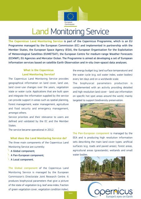
The Copernicus Land Monitoring Service is part of the Copernicus Programme, which is an EU<br />
Programme managed by the European Commission (EC) and implemented in partnership with the<br />
Member States, the European Space Agency (ESA), the European Organisation for the Exploitation<br />
of Meteorological Satellites (EUMETSAT), the European Centre for medium-range Weather Forecasts<br />
(ECMWF), EU Agencies and Mercator Océan. The Programme is aimed at developing a set of European<br />
detailed information complementing the<br />
information produced by the Pan-European<br />
component. It focuses on “hotspots”<br />
which are prone to specific environmental<br />
challenges in Europe.<br />
by smart urban planning.<br />
Bruxelles / Brussel<br />
High Resolution Layer<br />
Forest Tree cover density<br />
(Brno, CZ)<br />
information services based on satellite Earth Observation and in-situ (non-space) data analyses.<br />
What is the Copernicus<br />
Land Monitoring Service?<br />
The Copernicus Land Monitoring Service provides<br />
the energy budget (e.g. land surface temperature) and<br />
the water cycle (e.g. soil water index, water bodies)<br />
every ten days and on a worldwide scale.<br />
geographical information on land cover, land use, The biophysical parameters production is<br />
land cover-use changes over the years, vegetation<br />
state or water cycle. Applications that are built upon<br />
and integrate the information supplied by the service<br />
can provide support in areas such as spatial planning,<br />
complemented with an activity providing detailed<br />
and high resolution land cover - land use information<br />
on specific hot spot areas around the world, mainly<br />
targeted to support biodiversity preservation.<br />
forest management, water management, agriculture<br />
and food security and emergency management,<br />
amongst others.<br />
Service priorities and their relevance to users are<br />
defined and validated by the EC and the Member<br />
States.<br />
The service became operational in 2012.<br />
The Pan-European component is managed by the<br />
What does the Land Monitoring Service do?<br />
The three main components of the Copernicus Land<br />
Monitoring Service are currently:<br />
A Global component;<br />
A Pan-European component;<br />
EEA and is producing high resolution information<br />
sets describing the main land cover types: artificial<br />
surfaces (e.g. roads and paved areas), forest areas,<br />
agricultural areas (grasslands), wetlands and small<br />
water bodies.<br />
A Local component.<br />
The Global component of the Copernicus Land<br />
Monitoring Service is managed by the European<br />
Commission’s Directorate Joint Research Centre. It<br />
produces biophysical parameters that give a picture<br />
of the state of vegetation (e.g. leaf area index, fraction<br />
of green vegetation cover, vegetation condition index),<br />
Space<br />
The Urban Atlas, one of the local components,<br />
focuses on the mapping and change analysis<br />
of urban areas. It provides reliable, intercountry<br />
comparable, high resolution land<br />
use maps for 695 European cities and their<br />
surroundings for the reference years 2006<br />
and 2012 which allow land use comparisons<br />
across cities and over time.<br />
The Urban Atlas is used to detect building<br />
footprints, land use changes, urban sprawl<br />
and urban green area decline and high urban<br />
densities. The information is used to prioritise<br />
public transport, support emergency planning<br />
or promote sustainable urban development<br />
in general in a pan-European comparable<br />
mode.<br />
For example, in the case of mapping<br />
areas affected by emergency situations,<br />
Larger Urban Zone: Bruxelles / Brussel<br />
REGIOgis<br />
Urban Atlas map: Brussels<br />
Who can use it and is it for free?<br />
The Copernicus data policy promotes the<br />
access, use and sharing of Copernicus<br />
information and data on a full, free and<br />
open basis. There is no restriction on use<br />
or reproduction and redistribution, with or<br />
without adaptation, for commercial or noncommercial<br />
purposes.<br />
This data policy applies to the data and<br />
information generated within the Copernicus<br />
programme, i.e., <strong>Sentinel</strong> mission data and<br />
Copernicus service information.<br />
Users can find out more about the Copernicus Land Monitoring Service at: http://land.copernicus.eu/<br />
Corine Land cover<br />
(minimum mapping unit 25 ha)<br />
Corine Land Cover: the distribution<br />
of aggregated land cover classes<br />
Global Land biophysical<br />
parameters: Albedo<br />
Photo credits: Land iStock©Dariusz Paciorek; Deforestation Fotalia ©guentermanaus; Demographic expansion iStock ©Ammit; All the maps are provided by ©EC.