Dona Bay WMP - Sarasota.WaterAtlas.org - University of South Florida
Dona Bay WMP - Sarasota.WaterAtlas.org - University of South Florida
Dona Bay WMP - Sarasota.WaterAtlas.org - University of South Florida

Create successful ePaper yourself
Turn your PDF publications into a flip-book with our unique Google optimized e-Paper software.
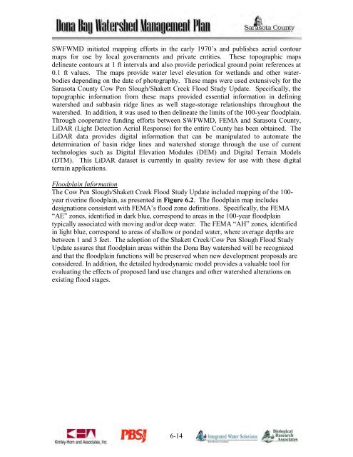
SWFWMD initiated mapping efforts in the early 1970’s and publishes aerial contourmaps for use by local governments and private entities. These topographic mapsdelineate contours at 1 ft intervals and also provide periodical ground point references at0.1 ft values. The maps provide water level elevation for wetlands and other waterbodiesdepending on the date <strong>of</strong> photography. These maps were used extensively for the<strong>Sarasota</strong> County Cow Pen Slough/Shakett Creek Flood Study Update. Specifically, thetopographic information from these maps provided essential information in definingwatershed and subbasin ridge lines as well stage-storage relationships throughout thewatershed. In addition, it was used to then delineate the limits <strong>of</strong> the 100-year floodplain.Through cooperative funding efforts between SWFWMD, FEMA and <strong>Sarasota</strong> County,LiDAR (Light Detection Aerial Response) for the entire County has been obtained. TheLiDAR data provides digital information that can be manipulated to automate thedetermination <strong>of</strong> basin ridge lines and watershed storage through the use <strong>of</strong> currenttechnologies such as Digital Elevation Modules (DEM) and Digital Terrain Models(DTM). This LiDAR dataset is currently in quality review for use with these digitalterrain applications.Floodplain InformationThe Cow Pen Slough/Shakett Creek Flood Study Update included mapping <strong>of</strong> the 100-year riverine floodplain, as presented in Figure 6.2. The floodplain map includesdesignations consistent with FEMA’s flood zone definitions. Specifically, the FEMA“AE” zones, identified in dark blue, correspond to areas in the 100-year floodplaintypically associated with moving and/or deep water. The FEMA “AH” zones, identifiedin light blue, correspond to areas <strong>of</strong> shallow or ponded water, where average depths arebetween 1 and 3 feet. The adoption <strong>of</strong> the Shakett Creek/Cow Pen Slough Flood StudyUpdate assures that floodplain areas within the <strong>Dona</strong> <strong>Bay</strong> watershed will be recognizedand that the floodplain functions will be preserved when new development proposals areconsidered. In addition, the detailed hydrodynamic model provides a valuable tool forevaluating the effects <strong>of</strong> proposed land use changes and other watershed alterations onexisting flood stages.6-14