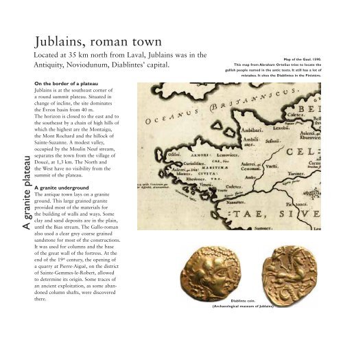
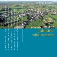
A granite plateau<strong>Jublains</strong>, roman townLocated at 35 km north from Laval, <strong>Jublains</strong> was in theAntiquity, Noviodunum, Diablintes’ capital.On the border of a plateau<strong>Jublains</strong> is at the southeast corner ofa round summit plateau. Situated inchange of incline, the site dominatesthe Évron basin from 40 m.The horizon is closed to the east and tothe southeast by a chain of high hills ofwhich the highest are the Montaigu,the Mont Rochard and the hillock ofSainte-Suzanne. A modest valley,occupied by the Moulin Neuf stream,separates the town from the village ofDoucé, at 1,3 km. The North andthe West have no visibility from thesummit of the plateau.A granite undergroundThe antique town lays on a graniteground. This large grained graniteprovided most of the materials forthe building of walls and ways. Someclay and sand deposits are in the plain,until the Bias stream. The Gallo-romanalso used a clear grey coarse grainedsandstone for most of the constructions.It was used for columns and the baseof the great wall of the fortress. At the<strong>en</strong>d of the 19 th c<strong>en</strong>tury, the op<strong>en</strong>ing ofa quarry at Pierre-Aiguë, on the districtof Sainte-Gemmes-le-Robert, allowedto determine its origin. Some traces ofan anci<strong>en</strong>t exploitation, as some abandonedcolumn shafts, were discoveredthere.Map of the Gaul. 1590.This map from Abraham Ortelius tries to locate thegallish people named in the antic texts. It still has a lot ofmistakes. It sites the Diablintes in the Finistère.Diablinte coin.(Archaeological museum of <strong>Jublains</strong>)
Childr<strong>en</strong> before the fortress.(Baron de Wismes’ <strong>en</strong>graving. 1862)Birth and decline of a townThe birth of NoviodunumBefore the conquest of the Gaul bythe Romans, the territory of <strong>Jublains</strong>belonged to the Diablintes, one of theethnic groups of the Aulerque’s nation,which spreads out from the Seine to theMassif Armoricain. From the 4 thc<strong>en</strong>tury B. C., the Gallic had edified asanctuary at <strong>Jublains</strong>, at the northernextremity of the antique town.On the eve of the conquest, a fewhouses settled nearby but the word“town” cannot be employed yet. Theurbanisation of the site began aroundthe beginning of our era, particularlyfrom the Tiberius’ reign (14-37 A.D.).The town took the name ofNoviodunum (“New Town”) as craftsm<strong>en</strong>settled in. At the beginning, thedwellings were scattered, without aprevious urban plan.The capital of a cityThe Gaul was organised by the emperorAugustus (27 B. C.-14 A. D.) in cities;kind of self-governing micro-statescorresponding to the main Gallicpeople area. Noviodunum became themain town of the Diablintes’ city,which streched over two thirds of theMay<strong>en</strong>ne and the south of the Ornedepartm<strong>en</strong>ts. The councillors met at theforum, the heart ofthe town. One ofthese local notables;Orgétorix, offered atheatre to his city.years 260-285. The Gaul was periodicallyinvaded by Germans. Somepeasants revolted against the taxpressure. A fortified building, settledclose to <strong>Jublains</strong>, was surrounded by anearth<strong>en</strong> rampart. It became th<strong>en</strong> a realfortress by the construction of an outerstony wall, remained unfinished. Butthe town was declining. It lost its positionof capital during the 5 th c<strong>en</strong>tury, asthe Diablintes’ city was incorporatedinto the C<strong>en</strong>omans’ one: that is theorigin of the Maine, whose capital wasLe Mans. In the early Middle Ages,some quarters became cemeteries.Nevertheless, the town subsisted untilthe Carolingian period. It vanished atthe beginning of the 10 th c<strong>en</strong>tury, as anew power place asserted itself, 10 kmfurther: at May<strong>en</strong>ne, where a palacereused the stones picked up in <strong>Jublains</strong>.JugsMural fragm<strong>en</strong>t from the temple. Pigeon.A vanished capitalIn the 3 rd c<strong>en</strong>tury,the Roman empirewas faced with acrisis which reacheda peak during the