EGNOS and Galileo - European GNSS Agency - Europa
EGNOS and Galileo - European GNSS Agency - Europa
EGNOS and Galileo - European GNSS Agency - Europa

You also want an ePaper? Increase the reach of your titles
YUMPU automatically turns print PDFs into web optimized ePapers that Google loves.
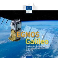
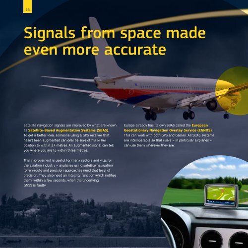
16Signals from space madeeven more accurateSatellite navigation signals are improved by what are knownas Satellite-Based Augmentation Systems (SBAS).To get a better idea: someone using a GPS receiver thathasn’t been augmented can only be sure of his or herposition to within 17 metres. An augmented signal can tellyou where you are to within three metres.Europe already has its own SBAS called the <strong>European</strong>Geostationary Navigation Overlay Service (<strong>EGNOS</strong>).This can work with both GPS <strong>and</strong> <strong>Galileo</strong>. All SBAS systemsare interoperable so that users – in particular airplanes –can use them wherever they are.This improvement is useful for many sectors <strong>and</strong> vital forthe aviation industry – airplanes using satellite navigationfor en-route <strong>and</strong> precision approaches need that level ofprecision. They also need an integrity function which notifiesthem, within a few seconds, when the underlying<strong>GNSS</strong> is faulty.