Bus Rapid Transit (BRT) Implementation Study for South ... - pctpa
Bus Rapid Transit (BRT) Implementation Study for South ... - pctpa
Bus Rapid Transit (BRT) Implementation Study for South ... - pctpa
You also want an ePaper? Increase the reach of your titles
YUMPU automatically turns print PDFs into web optimized ePapers that Google loves.
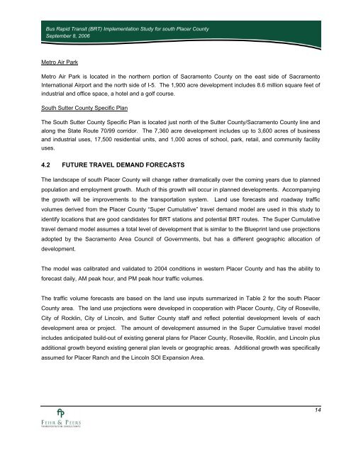
<strong>Bus</strong> <strong>Rapid</strong> <strong>Transit</strong> (<strong>BRT</strong>) <strong>Implementation</strong> <strong>Study</strong> <strong>for</strong> south Placer CountySeptember 8, 2006Metro Air ParkMetro Air Park is located in the northern portion of Sacramento County on the east side of SacramentoInternational Airport and the north side of I-5. The 1,900 acre development includes 8.6 million square feet ofindustrial and office space, a hotel and a golf course.<strong>South</strong> Sutter County Specific PlanThe <strong>South</strong> Sutter County Specific Plan is located just north of the Sutter County/Sacramento County line andalong the State Route 70/99 corridor. The 7,360 acre development includes up to 3,600 acres of businessand industrial uses, 17,500 residential units, and 1,000 acres of school, park, retail, and community facilityuses.4.2 FUTURE TRAVEL DEMAND FORECASTSThe landscape of south Placer County will change rather dramatically over the coming years due to plannedpopulation and employment growth. Much of this growth will occur in planned developments. Accompanyingthe growth will be improvements to the transportation system. Land use <strong>for</strong>ecasts and roadway trafficvolumes derived from the Placer County “Super Cumulative” travel demand model are used in this study toidentify locations that are good candidates <strong>for</strong> <strong>BRT</strong> stations and potential <strong>BRT</strong> routes. The Super Cumulativetravel demand model assumes a total level of development that is similar to the Blueprint land use projectionsadopted by the Sacramento Area Council of Governments, but has a different geographic allocation ofdevelopment.The model was calibrated and validated to 2004 conditions in western Placer County and has the ability to<strong>for</strong>ecast daily, AM peak hour, and PM peak hour traffic volumes.The traffic volume <strong>for</strong>ecasts are based on the land use inputs summarized in Table 2 <strong>for</strong> the south PlacerCounty area. The land use projections were developed in cooperation with Placer County, City of Roseville,City of Rocklin, City of Lincoln, and Sutter County staff and reflect potential development levels of eachdevelopment area or project. The amount of development assumed in the Super Cumulative travel modelincludes anticipated build-out of existing general plans <strong>for</strong> Placer County, Roseville, Rocklin, and Lincoln plusadditional growth beyond existing general plan levels or geographic areas. Additional growth was specificallyassumed <strong>for</strong> Placer Ranch and the Lincoln SOI Expansion Area.14


